
What you need to know about the Morbihan department ?
We present to you here the Morbihan department, which is the 56th French department and is part of the Brittany region. The name Morbihan actually comes from the name of the gulf that bears the same name. Moreover, it is one of the 83 oldest departments in France and currently occupies the territory formerly held by the kingdom of Broërec. This territory was also occupied by the city of the Veneti.
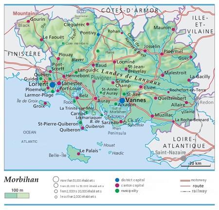
The prefecture of the Morbihan department is called Vannes and its sub-prefectures are Pontivy and Lorient. As mentioned, this department was created during the French Revolution, that is, in the year 1790. It was previously the province of Brittany and 90% of its territory was occupied by the diocese of Vannes, which dates back to the 5th century.
Administratively, the department is governed by a Departmental Council. In demographic terms, the people of Morbihan currently number 775,982 inhabitants, and the area of department 56 is 6,823 km².
Furthermore, the administrative divisions of department 56 are Arrondissements, legislative constituencies, cantons, intercommunalities, and communes, numbering 3, 6, 21, 12, and 249 respectively. Geographically, the Morbihan territory occupies 10% of the Armorican Massif. Additionally, 16% of the Morbihan territory is covered by forests.

Which departments border Morbihan?
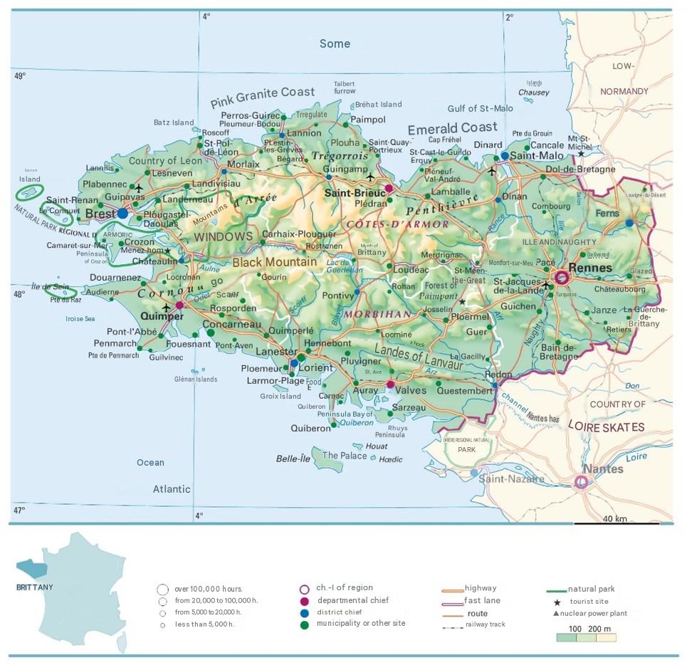
Since the Brittany region is the region of the Morbihan department, the neighboring departments of 56 are Finistère which borders it to the west, the Côtes-d’Armor department which borders it to the north, the Ille-et-Vilaine department which borders it to the east, and the Loire-Atlantique department which borders it to the southeast. Moreover, the Morbihan department has a coastline on the Atlantic Ocean.
What is the climate like in the Morbihan department?
The climate of the Morbihan department is considered to be ocean-temperate. In fact, this climate is heavily influenced by the marine wind called the Gulf Stream. This also causes marine disturbances, that is, Atlantic disturbances.
The climate is characterized by a mild winter period and a summer period that is not very hot either. During the summer period, there is warmth, but not very strong, except during occasional heatwaves where temperatures reach 37.5 °C. During the winter periods, there is a lot of frost especially in the surrounding archipelagos and on the coast.
Moreover, on this coastline and especially in the eastern section of the department, there is less rainfall. In the Landes de Lanvaux area and in the northwestern section of the department, there is much more precipitation. However, in the Guiscriff area, annual precipitation is 1,300 mm per year, but in the Belle-Île area, precipitation is 700 mm annually. Regarding sunshine, there are about 1900 hours of sunshine per year.
What are the most important cities in Morbihan?
Here are the top cities in terms of tourist visits in the Morbihan department:
- Vannes
- Auray
- Carnac
- Lorient
- La Roche-Bernard
- Etel
- La Trinité-sur-Mer
- Evelys
- Plescop
- Locminé
- Quiberon
What are the largest municipalities in the Morbihan department?
To make this ranking, we referred to the area of each municipality in the Morbihan department.
- Languidic
- Langonnet
- Ploërdut
- Bubry
- Pluméliau-Bieuzy
- Guiscriff
- Pluvigner
- Gourin
- Ménéac
- Grand-Champ
Regarding this second ranking of the municipalities of Morbihan, we grouped them according to the population density per km2.
- Lorient
- Lanester
- Hennebont
- Auray
- Saint-Avé
- Vannes
- Ploemeur
- Pontivy
- Guidel
- Quéven
FAQ-Map of Morbihan
A map of Morbihan displays the main cities, municipalities, roads, and departmental boundaries. It also helps locate natural areas, the coastline, islands, and major tourist attractions.
A map makes it easier to plan your journey by quickly identifying roads, distances, and key places of interest. It is also useful for organizing cultural visits, hiking trips, or stays along the Morbihan coastline.
Yes, there are road, tourist, administrative, topographic, and interactive maps of Morbihan. Each type is designed for specific needs, whether for travel, geographical study, or exploring the local heritage.
