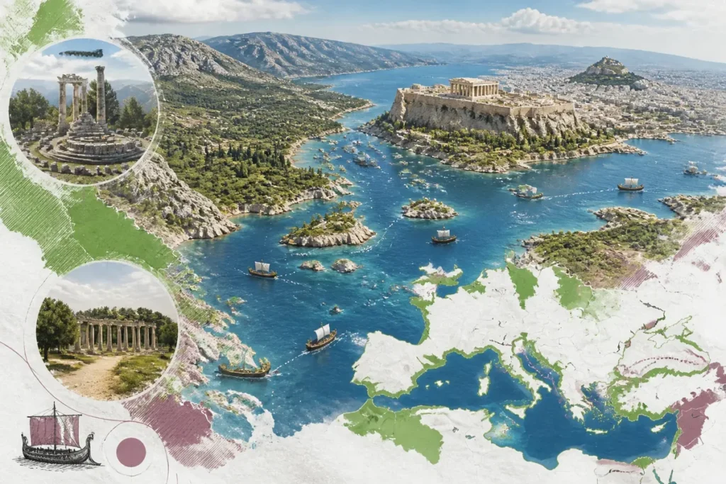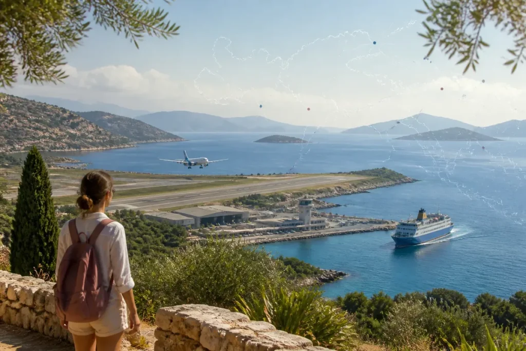
📋 Key takeaway: Personally, I consider that analyzing a map of Greek airports is essential to effectively combine international flights and domestic connections (or ferries) without wasting precious time on unnecessary transfers.
.synthesis h2, .synthesis .synthesis-header { font-size: 1.15em; font-weight: 700; margin-bottom: 0.6em; color: #47752c; }
.synthesis p, .synthesis li { font-size: 1em; line-height: 1.65; margin: 10px; }
.synthesis strong { color: #121e0b; }
.synthesis table { width: 100%; border-collapse: collapse; }
.synthesis th { background: rgba(91, 150, 56, 0.12); color: #47752c; text-align: left; }
.synthesis td, .synthesis th { padding: 8px 12px; border-bottom: 1px solid rgba(91, 150, 56, 0.18); vertical-align: top; }
.synthesis tbody tr:nth-child(even) { background: rgba(91, 150, 56, 0.05); }
.key-takeaways { max-width: 640px; margin: 2em auto; padding: 1.5em 1.8em; color: #1f3313; font-family: “Inter”, “Segoe UI”, sans-serif; text-align: left; position: relative; box-sizing: border-box; background: #f2f7ef; border: 1px solid #5b9638; border-left: 6px solid #5b9638; border-radius: 12px; box-shadow: 0 8px 24px rgba(251, 191, 36, 0.15); }
.key-takeaways h2, .key-takeaways .key-takeaways-header { font-size: 1.15em; font-weight: 700; margin-bottom: 0.6em; color: #47752c; }
.key-takeaways p, .key-takeaways li { font-size: 1em; line-height: 1.65; margin: 10px; }
.key-takeaways strong { color: #121e0b; }
.key-takeaways ul { list-style: none; padding-left: 0; }
.key-takeaways li { margin: 0.45em 0; padding-left: 0.2em; }
.mg-callout{margin:1.5em 0;padding:.9em 1.1em;border:1px solid;border-left-width:4px;border-radius:10px;font-size:.97em;line-height:1.65}.mg-callout>:first-child{margin-top:0}.mg-callout>:last-child{margin-bottom:0}.mg-callout__label{display:block;margin:0 0 .35em;font-weight:700;font-size:.82em;letter-spacing:.03em;text-transform:uppercase}.mg-callout__label::before{margin-right:.45em;font-size:1.05em;vertical-align:-.06em}.mg-callout–info{background:#eff6ff;border-color:#bfdbfe;color:#1e3a5f}.mg-callout–info .mg-callout__label{color:#2563eb}.mg-callout–info .mg-callout__label::before{content:”\2139\FE0F”}.mg-callout–tip{background:#f0fdf4;border-color:#bbf7d0;color:#14532d}.mg-callout–tip .mg-callout__label{color:#15803d}.mg-callout–tip .mg-callout__label::before{content:”\1F4A1″}.mg-callout–warning{background:#fffbeb;border-color:#fde68a;color:#7a4a10}.mg-callout–warning .mg-callout__label{color:#b45309}.mg-callout–warning .mg-callout__label::before{content:”\26A0\FE0F”}.mg-callout–danger{background:#fef2f2;border-color:#fecaca;color:#7f1d1d}.mg-callout–danger .mg-callout__label{color:#dc2626}.mg-callout–danger .mg-callout__label::before{content:”\1F6D1″}.mg-proscons{display:grid;grid-template-columns:1fr 1fr;gap:16px;margin:1.5em 0}@media(max-width:560px){.mg-proscons{grid-template-columns:1fr}}.mg-proscons__col{padding:.9em 1.1em;border:1px solid;border-radius:10px}.mg-proscons__title{display:flex;align-items:center;gap:.4em;margin:0 0 .5em;font-weight:700;font-size:.9em;letter-spacing:.02em}.mg-proscons__col ul{margin:.3em 0 0;padding-left:1.15em}.mg-proscons__col li{margin:.3em 0;line-height:1.55}.mg-proscons__col–pro{background:#f0fdf4;border-color:#bbf7d0;color:#14532d}.mg-proscons__col–pro .mg-proscons__title{color:#15803d}.mg-proscons__col–pro .mg-proscons__title::before{content:”\2705″}.mg-proscons__col–con{background:#fef2f2;border-color:#fecaca;color:#7f1d1d}.mg-proscons__col–con .mg-proscons__title{color:#dc2626}.mg-proscons__col–con .mg-proscons__title::before{content:”\274C”}ol.mg-steps{list-style:none!important;counter-reset:mgstep;margin:1.6em 0;padding-left:0!important}ol.mg-steps>li.mg-steps__item{counter-increment:mgstep;list-style:none!important;padding-left:0!important;padding-bottom:1.4em}ol.mg-steps>li.mg-steps__item:last-child{padding-bottom:0}ol.mg-steps>li.mg-steps__item>:last-child{margin-bottom:0}ol.mg-steps>li.mg-steps__item>.mg-steps__title{margin:0 0 .25em;font-weight:600}ol.mg-steps>li.mg-steps__item>.mg-steps__title::before{content:counter(mgstep) “. “;opacity:.45;font-weight:500;font-variant-numeric:tabular-nums}ol.mg-steps>li.mg-steps__item:not(:has(.mg-steps__title))::before{content:counter(mgstep) “. “;opacity:.45;font-weight:500;font-variant-numeric:tabular-nums}.mg-kpis{display:grid;grid-template-columns:repeat(auto-fit,minmax(140px,1fr));gap:14px;margin:1.5em 0}.mg-kpi{padding:1em .9em;border:1px solid #e5e7eb;border-radius:12px;background:#f9fafb;text-align:center}.mg-kpi__value{display:block;font-size:1.7em;font-weight:800;line-height:1.15;color:#111827}.mg-kpi__label{display:block;margin-top:.35em;font-size:.85em;color:#6b7280;line-height:1.35}
.wp-block-image,.ai-image{margin-bottom:1.75em}.wp-block-image>figcaption,.ai-image>figcaption{margin-top:.5em}
39 airports are generally listed in Greece, but their number depends on the scope considered; a useful map distinguishes the mainland, Crete, and the islands, then associates each destination with its airport or departure port. For a search “Greece airport map,” especially remember ATH for Athens, HER or CHQ for Crete, and the island airport suited to the targeted island.
🌟 My experience: When planning an island hop in the Cyclades, I realized how much directly connecting an island with a national airport from Athens changed the game compared to a long sea crossing from Piraeus on windy days.
The correct reading thus starts with three markers: the IATA code, the geographic region, and the last leg needed after landing. A nearby island on the map may require a land transfer to a port, while a more distant destination sometimes has a direct domestic flight from Athens.
| 🗺️ | Map to read: mainland, Crete, islands, and ports must be distinguished. |
| ✈️ | IATA code: ATH stands for Athens, HER for Heraklion, and JTR for Santorini. |
| 🏝️ | Island access: some islands are reached directly by plane, others by ferry. |
| 🔁 | Transfer: Athens serves as an air hub to many islands. |
| ⚓ | Port: Piraeus, Rafina, or a regional port may complete the journey. |
| 📅 | Season: international flights and some crossings are more frequent in summer. |
To best prepare your getaway plans and connections, I invite you to discover our tips for preparing your trip to Morocco, explore our guide to visit Morocco on an unforgettable trip, or get inspired by our page dedicated to South Africa and its vast wild spaces.
What does a map of Greek airports really show?
🍀 Advantages
• Significant time savings for distant islands
• Avoids long sea crossings in rough seas
• Wide choice of direct summer connections
🔻 Disadvantages
• Sometimes high cost of domestic flights in high season
• Limited seat availability on small aircraft
• Higher carbon footprint than maritime transport
A map of Greek airports shows the distribution of airfields, not the complete feasibility of a trip. It becomes useful when each point is read with its IATA code, region, and the means of transport still needed to reach accommodation.
Consumer maps sometimes mix commercial airports, airfields, and cartographic points. That is why the total of 39 airports, listed by several specialized lists, should not be directly compared to a selection of 13 international airports offered by another guide: the two counts do not cover exactly the same set.

To place the regions before comparing routes, also use this map of Greece: it helps to locate the distances between Athens, Crete, the Cyclades, and the Ionian Islands.
The IATA code is the first practical filter. ATH corresponds to Athens, SKG to Thessaloniki, HER to Heraklion, CHQ to Chania, RHO to Rhodes, CFU to Corfu, JMK to Mykonos, and JTR to Santorini. These codes are consistent across several airport lists and are used directly in booking engines.

What are the main airports to spot?
The main Greek airports are divided into three groups: the major gateways to the mainland, the Crete platforms, and the island airports. Their international or regional status is not enough to predict a specific connection, as schedules change depending on the season and the airline.
💡 Did you know? Greece manages more than thirty civil airports spread between the mainland and the archipelagos, most of which are managed by international operators to handle the summer tourist peak.
Greek mainland: Athens, Thessaloniki, and regional platforms
Athens-Elefthérios-Venizélos, code ATH, is the most versatile gateway to reach the mainland or take an internal connection. An estimate published places the airport about 30 kilometers from the city center, a distance that alone does not indicate the transfer duration.
Thessaloniki, code SKG, mainly serves Northern Greece and can act as a relay to certain northern islands. The airport is listed in several guides as about 10 kilometers from the center, but the actual journey varies depending on traffic, arrival time, and the chosen mode of transport.
On the map, Kalamata (KLX), Kavala (KVA), Patras-Araxos (GPA), and Preveza-Aktion (PVK) are useful regional gateways, without forming a network equivalent to that of Athens. Kalamata is notably associated with the Peloponnese; Kavala looks towards Northern Greece and the northern Aegean islands.
Crete: two airports, two arrival zones
Crete has two major air gateways: Heraklion (HER) in the east, and Chania (CHQ) in the west. The right choice depends on the location of the accommodation, as crossing the island after landing can turn a short flight into a long road transfer.

Greek islands: direct airports and small platforms
Rhodes (RHO), Corfu (CFU), Kos (KGS), Mykonos (JMK), and Santorini (JTR) are among the island airports most visible on an international map. Paros (PAS), Naxos (JNX), Milos (MLO), and Syros (JSY) also have air access, with a more limited offer and more linked to domestic connections.
A destination can therefore have an airport without receiving direct flights from your city. Patras-Araxos airport, for example, is mainly served by seasonal rotations to several European countries; the exact period is not specified in the available source, which prevents deducing an annual schedule.
| Zone | Airports to note | Main use |
|---|---|---|
| Attica | Athens — ATH | International arrival and domestic connections |
| Northern Greece | Thessaloniki — SKG, Kavala — KVA | Access to the north of the country and certain Aegean islands |
| Crete | Heraklion — HER, Chania — CHQ | Direct arrival or domestic connection to Crete |
| Cyclades | Mykonos — JMK, Santorini — JTR, Paros — PAS, Naxos — JNX | Domestic flight, seasonal flight or ferry |
| Ionian Islands | Corfu — CFU, Zakynthos — ZTH, Cephalonia | Air access to the western islands |
| Dodecanese | Rhodes — RHO, Kos — KGS | Direct flight and regional maritime connections |
How to choose between plane, connection, and ferry?
First choose the arrival point that reduces the last leg, then compare the direct flight, the domestic connection, and the ferry route. An island equipped with an airport is often easier to reach by plane, while an island without a runway depends on a mainland port or a maritime connection.
- Step 1: name the island and the accommodation area. Separate the main island of the archipelago. For Crete, distinguish between Heraklion and Chania based on the accommodation address; for a small island, immediately identify the airport or port that actually serves the destination.
- Step 2: note the IATA code. Enter ATH, HER, CHQ, JTR, JMK or the corresponding code in the ticket search. This action prevents selecting a homonymous city or a platform far from the island sought.
- Step 3: compare the last segment. After landing, determine if the journey continues by plane, coach, taxi, car or ferry. The cost and duration of the transfer must be calculated from the actual airport, terminal and port, not just from the capital.
- Step 4: check the operating period. Distinguish an annual connection from a seasonal flight. A direct flight announced for summer may disappear in winter, while a maritime rotation may operate only on certain days.
- Step 5: book the chain with a margin. If a flight precedes a ferry, do not choose a tight connection: delay, baggage retrieval, road transfer and boarding form four successive constraints.
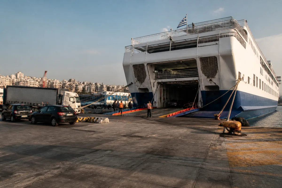
Piraeus mainly serves the Cyclades, Crete, the Dodecanese, and the eastern Aegean. Rafina can be more convenient for some Cyclades close to Attica, while Igoumenitsa, Patras, Volos, Kavala, and Thessaloniki serve other geographical configurations.
⚠️ Classic trap: Booking an international flight and a domestic flight on two separate tickets without leaving a sufficient safety margin (minimum 3 to 4 hours) at Athens airport in case of flight delay.
To understand the archipelagos before comparing routes, this map of the Greek islands usefully complements the airport map.

A connection via Athens becomes necessary when the island does not have a direct link from your departure point or when its small airport is not served that day. Other islands can be connected directly only if an air or sea route exists during the chosen period; visual proximity on the map does not create any route.
⏱ Practical advice: Study ferry connections in addition to your airport map; sometimes, landing on a well-served large island and finishing by boat is faster and more economical.
Which routes to build according to the archipelago?
The Cyclades lend themselves to arrival via Athens, Mykonos, Santorini, or a ferry; Crete and the Dodecanese require more attention to distances; the Ionian and Sporades are organized around their own airports and ports. The fastest choice is therefore not the same from one archipelago to another.
Cyclades: Mykonos, Santorini, Paros, Naxos, and Milos
Mykonos and Santorini have an airport and many maritime connections, making them convenient gateways to the Cyclades. Paros, Naxos, and Milos can be reached by plane from Athens or by ferry, but the number of rotations and schedules change according to the season.
For Santorini or Mykonos, a direct flight from abroad reduces transfers when available on the desired day. If this connection is missing, compare arrival in Athens followed by a domestic flight with a transfer to Rafina or Piraeus, including waiting time before boarding.

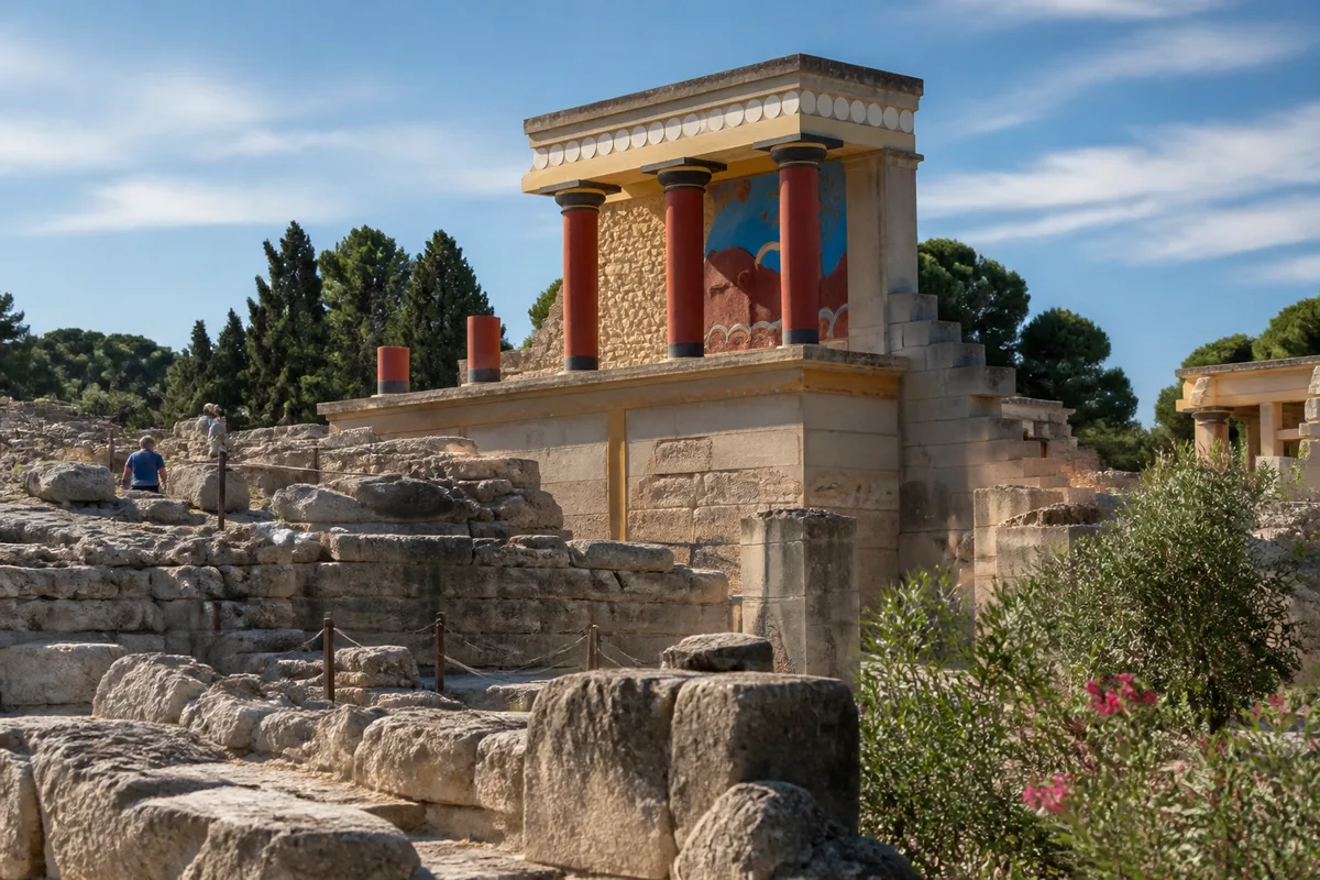
You are free to use this picture for any purpose as long as you credit its author, Ad Meskens.
Example: © Ad Meskens / Wikimedia Commons
If you use this work outside of the Wikimedia projects, a message or a copy is very much appreciated.
This image is not in the public domain. A statement such as “From Wikimedia Commons” or similar is not by itself sufficient. If you do not provide clear attribution to the author you do not comply with the terms of the file’s license and you may not use this file. If you are unable or unwilling to provide attribution you should contact Ad Meskens to negotiate a different license.
Crete and Dodecanese: avoiding the wrong side of the island
Heraklion and Chania structure air access to Crete. Heraklion is suitable for the east of the island, while Chania reduces the journey to the west; choosing the airport opposite to the accommodation sometimes cancels out the savings made on the ticket price.
Rhodes and Kos are the main air gateways of the Dodecanese. From these islands, maritime connections can extend the journey to Karpathos, Kalymnos, or Patmos, but a long crossing can make a direct flight preferable when the desired island has its own airport.
Ionian Islands, Sporades, and Aegean
Corfu, Zakynthos, and Cephalonia offer direct or connecting air arrivals, while ports complement access to neighboring islands. The Sporades are organized around Skiathos and continental ports such as Volos, Mantoudi, or Agios Konstantinos.
Lesbos, Chios, Samos, Ikaria, and Lemnos have airports, but a connection from abroad is not guaranteed for every date. Here, the crossing time really decides: a flight arriving after the last ferry turns a simple connection into an unexpected overnight stay.
Common mistakes when reading the map
- Confusing the island and the archipelago: searching for “Cyclades” does not designate a single airport. Choose Mykonos, Santorini, Paros, or the port corresponding to the exact island.
- Taking a seasonal flight for an annual connection: a summer rotation may disappear off-season. The service must be associated with a specific date and day.
- Choosing the cheapest airport: a bargain ticket becomes unfavorable if the land transfer to accommodation is long or if an extra night is necessary.
- Linking plane and ferry without margin: luggage, traffic, terminal change, and boarding can consume the planned interval.
- Confusing regional airport and international gateway: an airport shown on the map may only offer domestic flights or seasonal rotations.
For land distances, think in terms of the complete chain: arrival airport, route to the port or seaside resort, waiting, boarding, then final arrival. The cost of the taxi, shuttle, or rental car is not provided here, as no verified and dated rate allows it to be established without risk of error.

For a concrete journey, the official airport website provides arrivals and departures, the carrier confirms the air connection, then the maritime operator indicates the port, day, and boarding time. This chain is more reliable than an undated map or an old list of destinations.
Useful sources to consult before booking
Service data changes faster than geography. For a 2026 booking, separate stable information — name, location, IATA code — from volatile information, such as airlines, operating days, and seasonal rotations.
- Official airport website: arrival times, departures, terminals, and ground access.
- Airline: actual flight availability, baggage, connections, and fare conditions.
- Maritime operator: exact port, vessel, announced duration, and operating day.
- Airport authority or organization: platform status and operational information.
A detailed map remains useful to prepare the road trip between the airport, city center, and port; a printable map of Greece can serve as a reference during this comparison.
The final decision depends on a very concrete constraint: available time, season, luggage, and tolerance for connections. If the flight, ground transfer, or ferry is not confirmed for your date, choose the reversible option and do not pay for a chain that cannot be maintained.
.magic-lb-overlay.open{display:flex}
.magic-lb-overlay img{max-width:95vw;max-height:95vh;object-fit:contain;border-radius:8px;box-shadow:0 8px 32px rgba(0,0,0,.5)}
.magic-lb-close{position:absolute;top:16px;right:20px;color:#fff;background:rgba(0,0,0,.5);border:none;width:40px;height:40px;border-radius:50%;font-size:24px;cursor:pointer;display:flex;align-items:center;justify-content:center}
.magic-lb-close:hover{background:rgba(0,0,0,.8)}
.wp-block-image img{cursor:zoom-in;transition:transform .15s ease}
.wp-block-image img:hover{transform:scale(1.01)}
.magic-img-link{display:inline-block;text-decoration:none}
What are the main airports to reach the Greek islands?
Athens International Airport (Eleftherios Venizelos) is the essential central hub for taking domestic flights to the islands or reaching the ports.
Do all Greek islands have an airport?
No, many smaller islands do not have a runway and can only be reached by boat or ferry from a neighboring island or the mainland.
How to effectively read an aeronautical and tourist map of Greece?
You need to identify, on the one hand, the major international transit hubs, and on the other hand, the regional airports with direct seasonal connections from Europe.
(function(){
var ov=document.getElementById(‘magic-lb’);if(!ov)return;
var img=ov.querySelector(‘img’),btn=ov.querySelector(‘.magic-lb-close’);
var L={fr:’Fermer’,es:’Cerrar’,en:’Close’,pt:’Fechar’,it:’Chiudi’,de:’Schlie\u00dfen’,nl:’Sluiten’,ca:’Tancar’};
btn.setAttribute(‘aria-label’,L[(document.documentElement.lang||”).slice(0,2).toLowerCase()]||’Close’);
function open(src){img.src=src;ov.classList.add(‘open’);document.body.style.overflow=’hidden’}
function close(){ov.classList.remove(‘open’);img.src=”;document.body.style.overflow=”}
document.addEventListener(‘click’,function(e){
var a=e.target.closest(‘a.magic-img-link’);
if(a){e.preventDefault();open(a.getAttribute(‘href’));return}
var i=e.target.closest(‘.wp-block-image img’);
if(i&&!e.target.closest(‘a’)){e.preventDefault();open(i.currentSrc||i.src)}
});
ov.addEventListener(‘click’,function(e){if(e.target===ov||e.target===btn)close()});
document.addEventListener(‘keydown’,function(e){if(e.key===’Escape’)close()});
})();