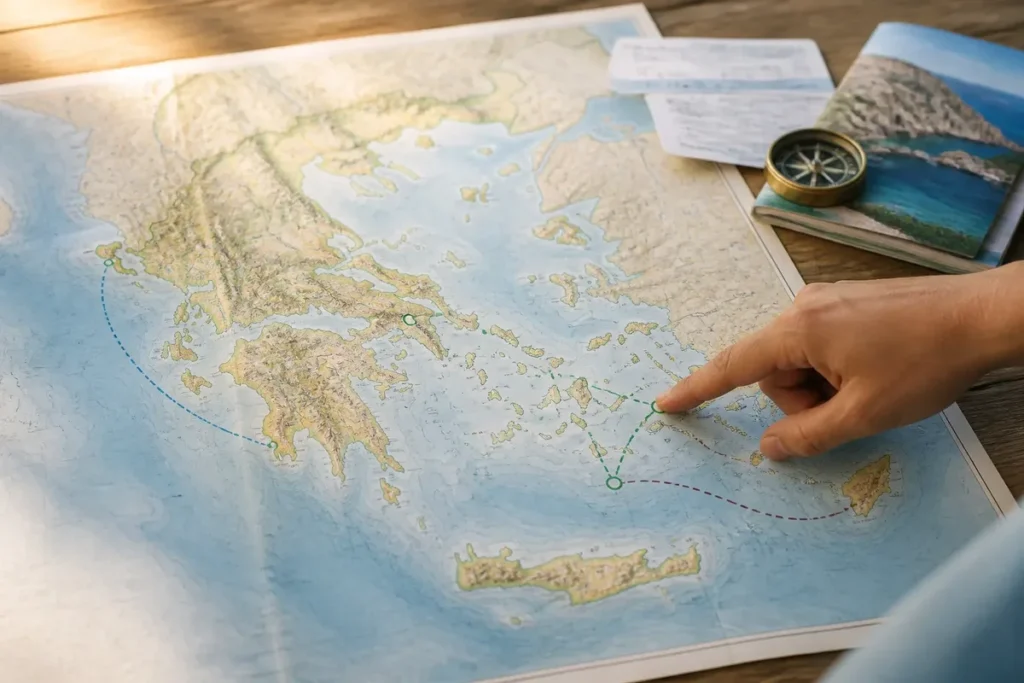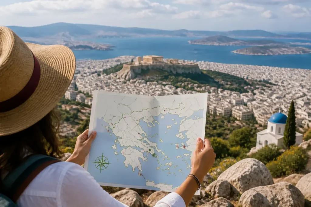
📋 Key takeaway: Personally, I believe that a clear reading of the map of cities and regions of Greece is the essential key to structuring a balanced itinerary between the major continental hubs and the island archipelagos.
.synthesis h2, .synthesis .synthesis-header { font-size: 1.15em; font-weight: 700; margin-bottom: 0.6em; color: #47752c; }
.synthesis p, .synthesis li { font-size: 1em; line-height: 1.65; margin: 10px; }
.synthesis strong { color: #121e0b; }
.synthesis table { width: 100%; border-collapse: collapse; }
.synthesis th { background: rgba(91, 150, 56, 0.12); color: #47752c; text-align: left; }
.synthesis td, .synthesis th { padding: 8px 12px; border-bottom: 1px solid rgba(91, 150, 56, 0.18); vertical-align: top; }
.synthesis tbody tr:nth-child(even) { background: rgba(91, 150, 56, 0.05); }
.key-takeaways { max-width: 640px; margin: 2em auto; padding: 1.5em 1.8em; color: #1f3313; font-family: “Inter”, “Segoe UI”, sans-serif; text-align: left; position: relative; box-sizing: border-box; background: #f2f7ef; border: 1px solid #5b9638; border-left: 6px solid #5b9638; border-radius: 12px; box-shadow: 0 8px 24px rgba(251, 191, 36, 0.15); }
.key-takeaways h2, .key-takeaways .key-takeaways-header { font-size: 1.15em; font-weight: 700; margin-bottom: 0.6em; color: #47752c; }
.key-takeaways p, .key-takeaways li { font-size: 1em; line-height: 1.65; margin: 10px; }
.key-takeaways strong { color: #121e0b; }
.key-takeaways ul { list-style: none; padding-left: 0; }
.key-takeaways li { margin: 0.45em 0; padding-left: 0.2em; }
.mg-callout{margin:1.5em 0;padding:.9em 1.1em;border:1px solid;border-left-width:4px;border-radius:10px;font-size:.97em;line-height:1.65}.mg-callout>:first-child{margin-top:0}.mg-callout>:last-child{margin-bottom:0}.mg-callout__label{display:block;margin:0 0 .35em;font-weight:700;font-size:.82em;letter-spacing:.03em;text-transform:uppercase}.mg-callout__label::before{margin-right:.45em;font-size:1.05em;vertical-align:-.06em}.mg-callout–info{background:#eff6ff;border-color:#bfdbfe;color:#1e3a5f}.mg-callout–info .mg-callout__label{color:#2563eb}.mg-callout–info .mg-callout__label::before{content:”\2139\FE0F”}.mg-callout–tip{background:#f0fdf4;border-color:#bbf7d0;color:#14532d}.mg-callout–tip .mg-callout__label{color:#15803d}.mg-callout–tip .mg-callout__label::before{content:”\1F4A1″}.mg-callout–warning{background:#fffbeb;border-color:#fde68a;color:#7a4a10}.mg-callout–warning .mg-callout__label{color:#b45309}.mg-callout–warning .mg-callout__label::before{content:”\26A0\FE0F”}.mg-callout–danger{background:#fef2f2;border-color:#fecaca;color:#7f1d1d}.mg-callout–danger .mg-callout__label{color:#dc2626}.mg-callout–danger .mg-callout__label::before{content:”\1F6D1″}.mg-proscons{display:grid;grid-template-columns:1fr 1fr;gap:16px;margin:1.5em 0}@media(max-width:560px){.mg-proscons{grid-template-columns:1fr}}.mg-proscons__col{padding:.9em 1.1em;border:1px solid;border-radius:10px}.mg-proscons__title{display:flex;align-items:center;gap:.4em;margin:0 0 .5em;font-weight:700;font-size:.9em;letter-spacing:.02em}.mg-proscons__col ul{margin:.3em 0 0;padding-left:1.15em}.mg-proscons__col li{margin:.3em 0;line-height:1.55}.mg-proscons__col–pro{background:#f0fdf4;border-color:#bbf7d0;color:#14532d}.mg-proscons__col–pro .mg-proscons__title{color:#15803d}.mg-proscons__col–pro .mg-proscons__title::before{content:”\2705″}.mg-proscons__col–con{background:#fef2f2;border-color:#fecaca;color:#7f1d1d}.mg-proscons__col–con .mg-proscons__title{color:#dc2626}.mg-proscons__col–con .mg-proscons__title::before{content:”\274C”}ol.mg-steps{list-style:none!important;counter-reset:mgstep;margin:1.6em 0;padding-left:0!important}ol.mg-steps>li.mg-steps__item{counter-increment:mgstep;list-style:none!important;padding-left:0!important;padding-bottom:1.4em}ol.mg-steps>li.mg-steps__item:last-child{padding-bottom:0}ol.mg-steps>li.mg-steps__item>:last-child{margin-bottom:0}ol.mg-steps>li.mg-steps__item>.mg-steps__title{margin:0 0 .25em;font-weight:600}ol.mg-steps>li.mg-steps__item>.mg-steps__title::before{content:counter(mgstep) “. “;opacity:.45;font-weight:500;font-variant-numeric:tabular-nums}ol.mg-steps>li.mg-steps__item:not(:has(.mg-steps__title))::before{content:counter(mgstep) “. “;opacity:.45;font-weight:500;font-variant-numeric:tabular-nums}.mg-kpis{display:grid;grid-template-columns:repeat(auto-fit,minmax(140px,1fr));gap:14px;margin:1.5em 0}.mg-kpi{padding:1em .9em;border:1px solid #e5e7eb;border-radius:12px;background:#f9fafb;text-align:center}.mg-kpi__value{display:block;font-size:1.7em;font-weight:800;line-height:1.15;color:#111827}.mg-kpi__label{display:block;margin-top:.35em;font-size:.85em;color:#6b7280;line-height:1.35}
.wp-block-image,.ai-image{margin-bottom:1.75em}.wp-block-image>figcaption,.ai-image>figcaption{margin-top:.5em}
Greece is structured into 13 administrative regions, but a map of Greece with cities must first allow locating Athens, Thessaloniki, and the main urban centers. The useful page therefore displays a readable general map, a clear legend, a zoom or an interactive version, then complementary maps by region or island.

🌟 My experience: While preparing my tour through mainland Greece, cross-referencing an administrative map with a road map saved me from many confusions between the different peripheries and allowed me to precisely calibrate my driving times.
The choice of map changes the reading: a road map emphasizes the routes, an administrative map the regional boundaries, and a tourist map the visited sites. To avoid confusing city, island, region, and village, one must compare the displayed name, the symbol used, and the proposed scale.
| 📍 | Main landmarks: Athens in Attica and Thessaloniki in Central Macedonia. |
| 🗺️ | Organization: Greece has 13 administrative regions. |
| 🏝️ | Islands: Crete, Ionian Islands, Northern Aegean, and Southern Aegean are distinguished. |
| 🚗 | Routes: main roads connect the major continental hubs and ports. |
| 🔎 | Reading: the legend specifies the difference between capital, city, port, and regional border. |
| 🖨️ | Print: a high-definition or vector version better preserves small names. |
To structure your escape plans and geographic references, I invite you to discover our tips for preparing your trip to Morocco, explore our guide to visiting Morocco as part of an unforgettable trip, or get inspired by our page dedicated to South Africa and its vast wild spaces.
Map of Greece with the main cities
🍀 Advantages
• Clear view of administrative boundaries and regions
• Immediate identification of major urban centers
• Ease of planning for a varied route
🔻 Disadvantages
• Less detail on local hiking trails
• Requires supplementary maps for island areas
• Overall scale poorly suited for intra-urban navigation
A general map of Greece must place Athens and Thessaloniki first, then show the cities that structure the mainland, the Peloponnese, and the major islands. The map becomes truly usable when the names remain readable, orientation is visible, and geographic boundaries are not overwhelmed by tourist symbols.

Athens serves as an immediate anchor point. The capital belongs to Attica, while Thessaloniki commands the reading of the north around the Thermaic Gulf. From these two cities, one better understands the position of Larissa, Lamia, Patras, Ioannina, or Volos, even when the map reduces secondary localities.
A map of Greece with cities should not multiply names to the point of making the islands unreadable. Detailed maps can display more villages, ports, and roads, while a general map selects the urban centers most useful for orientation.
- Mainland Greece: Athens, Thessaloniki, Larissa, Volos, Lamia, Ioannina, and Patras.
- Peloponnese: Corinth, Nafplio, Tripoli, and Kalamata.
- Crete and islands: Heraklion, Chania, Rethymno, Rhodes, Mytilene, Chios, and Corfu.
To place the country in its environment, the map of Greece in Europe usefully complements the urban map: it shows the position of the peninsula, the surrounding seas, and neighboring countries, without overloading city names.
Which cities are shown on the map?
💡 Did you know? Nearly one third of the total population of Greece is concentrated in the Attica region alone around the capital, making this area the main demographic and political driver of the country.
The visible cities vary depending on the scale and type of map, but the major landmarks remain relatively constant: Athens and Thessaloniki dominate the national map, followed by regional centers, important ports, and main island cities. A list associated with the map avoids having to search for a name in an overly dense image.
Cities of mainland Greece
Athens belongs to Attica and Thessaloniki to Central Macedonia. Larissa and Volos are located in Thessaly, Ioannina in Epirus, Lamia in Central Greece, Kozani in Western Macedonia, and Patras in Western Greece.

⚠️ Classic trap: Thinking that road connections between the different northern regions (like Macedonia) and the south (the Peloponnese) are straight lines, whereas the mountainous terrain imposes detours and significant travel times.
However, the position on the map is not enough to measure an actual journey: the terrain, coastal roads, and maritime connections greatly affect travel time. Published distances indicate 649 km between Athens and Kavala, 350 km between Athens and Preveza, 217 km between Athens and Naupactus, and 323 km between Thessaloniki and Igoumenitsa; these values still need to be verified depending on the chosen route.
| City | Region or area | Cartographic landmark |
|---|---|---|
| Athens | Attica | Capital and main urban center |
| Thessaloniki | Central Macedonia | Major northern hub |
| Larissa, Volos | Thessaly | Cities of the plain and Pagasetic Gulf |
| Patras | Western Greece | Northwestern Peloponnese hub |
| Ioannina | Epirus | Inland city near the western mountains |
| Heraklion | Crete | Main urban landmark of the island |
Cities of the Peloponnese and the islands
The Peloponnese appears as a peninsula connected to the mainland by the Isthmus of Corinth. Patras is located in the northwest, Tripoli inland, Kalamata in the southwest, while Corinth and Nafplio serve as additional landmarks on a more detailed map.


The island regions require a separate reading. Heraklion, Chania, and Rethymnon belong to Crete; Rhodes is located in the South Aegean, Chios and Mytilene in the North Aegean, while Corfu is part of the Ionian Islands.
⏱ Practical tip: First identify the major highway axes (such as the A1 highway connecting Athens to Thessaloniki) to structure your main stops before exploring the secondary roads of each region.


Regions, islands and major geographical landmarks
Greece has 13 administrative regions: Attica, Central Greece, Central Macedonia, Eastern Macedonia and Thrace, Epirus, Thessaly, Western Greece, Western Macedonia, Peloponnese, Ionian Islands, Northern Aegean, Southern Aegean, and Crete. This division comes from Greek law no. 3852/2010, article 3.
This administrative organization does not exactly correspond to the groupings used in travel guides. The Cyclades, for example, form a geographical archipelago in the Aegean Sea; they do not constitute an autonomous administrative region by that name.
- Continent: Attica, Central Greece, Thessaly, Epirus and the Macedonian regions.
- Peninsula: Peloponnese, to be distinguished from Western Greece located to the northwest.
- Islands: Crete, Ionian Islands, Northern Aegean and Southern Aegean.
A detailed administrative map can also show 74 regional units, a level below the 13 regions. A map mentioning 52 nomes reflects a division presented by a cartographic site, but it should not be confused with the current regional organization resulting from the 2010 law.
For tourist uses, the tourist map of Greece adds sites, ports, or accommodation areas; it answers a different question than the administrative map, which mainly aims to show territorial boundaries.
How to read a map of Greece with cities?
Start with the legend, then locate Athens and Thessaloniki before comparing the other names with the regional borders. A reliable map indicates its orientation, scale, source, update date, and, when interactive, the available search and zoom functions.
Start with the legend. A circle may indicate a city, a star a capital, an anchor a port, and a colored line an administrative border. Without this key, the size of the symbol does not allow deducing the actual status of the place.
Names can take several forms: Heraklion may appear as Iraklio, while some maps keep a transliteration close to Greek. Check the descriptive sheet or internal search when two spellings seem to refer to the same city.
- Locate the orientation and scale.
- Identify Athens, then Thessaloniki.
- Follow the regional boundaries to the city you are looking for.
- Check if the symbol designates a city, a port, an airport, or a site.
A useful interactive map allows searching for a city, zooming in on an island, and activating several layers without hiding the names. On site, this function helps distinguish an arrival port, a neighboring city, and a destination located on another island.
For an itinerary, choose a road map and check the displayed distances; to understand the territory, prefer a general or administrative map. In this case, do not base your route on a simple straight-line distance: ferries, mountains, and road detours change the actual travel.
A printable version must keep characters large enough and a contrasted legend. WCAG 2.2 recommendations indicate a minimum contrast of 4.5:1 for regular text and 3:1 for large text; for a sharp print, 300 dots per inch at the final size is a common goal, while a vector file remains preferable when this option exists.

The displayed date also deserves checking. Wikimedia Commons indicates, for a map of Greece viewed in this type of search, a creation on September 16, 2017, and a metadata modification on April 5, 2018, at 10:38 PM; these dates describe the file, not a guarantee of updating roads or boundaries.
Finally, an old map can remain excellent for general geography and become unsuitable for a precise itinerary. The map of ancient Greece should thus be used for historical cities and regions, never to deduce contemporary administrative borders.
Sources and formats to check before use
The best map is not necessarily the most decorated: it must correspond to the intended use and declare what it represents. Compare the source, date, license, scale, and offered functions before downloading an image or printing it.
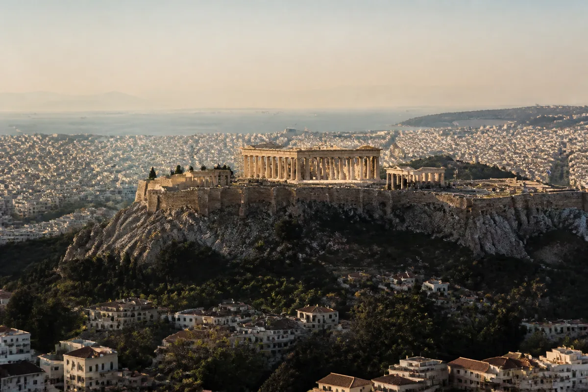
For quick consultation, an interactive map is the most practical. For a travel document, a high-definition version is preferable; for a territorial study, the administrative map offers a clearer separation between regions and regional units.
| Format | Suitable use | Main limitation |
|---|---|---|
| General map | Understand the position of cities | Few local details |
| Interactive map | Search and zoom | Connection sometimes required |
| Road map | Prepare a route | Not well suited for administrative borders |
| Administrative map | Compare regions | Tourist sites are secondary |
| Satellite map | Observe relief and coastline | City names may be missing |
It is impossible to decide here which map will be the most readable on your device without knowing its format, resolution, and display size. However, remember a simple rule: to locate cities, prioritize the readability of names; to plan a route, then check roads and maritime connections on an updated source.
.magic-lb-overlay.open{display:flex}
.magic-lb-overlay img{max-width:95vw;max-height:95vh;object-fit:contain;border-radius:8px;box-shadow:0 8px 32px rgba(0,0,0,.5)}
.magic-lb-close{position:absolute;top:16px;right:20px;color:#fff;background:rgba(0,0,0,.5);border:none;width:40px;height:40px;border-radius:50%;font-size:24px;cursor:pointer;display:flex;align-items:center;justify-content:center}
.magic-lb-close:hover{background:rgba(0,0,0,.8)}
.wp-block-image img{cursor:zoom-in;transition:transform .15s ease}
.wp-block-image img:hover{transform:scale(1.01)}
.magic-img-link{display:inline-block;text-decoration:none}
What are the main administrative regions of Greece?
Greece is divided into 13 administrative regions (peripheries), including major continental territories like Attica and Macedonia, as well as island regions like the South Aegean or Crete.
How is the urban hierarchy organized on the Greek map?
The urban structure is centered around two hyper-metropolises (Athens and Thessaloniki) that concentrate flows, followed by regional capitals and medium-sized island urban centers.
Where can I find a clear map of Greece’s regions and cities?
You can consult detailed geographic maps online or download annotated PDF versions in French to prepare your travel stages.
(function(){
var ov=document.getElementById(‘magic-lb’);if(!ov)return;
var img=ov.querySelector(‘img’),btn=ov.querySelector(‘.magic-lb-close’);
var L={fr:’Fermer’,es:’Cerrar’,en:’Close’,pt:’Fechar’,it:’Chiudi’,de:’Schlie\u00dfen’,nl:’Sluiten’,ca:’Tancar’};
btn.setAttribute(‘aria-label’,L[(document.documentElement.lang||”).slice(0,2).toLowerCase()]||’Close’);
function open(src){img.src=src;ov.classList.add(‘open’);document.body.style.overflow=’hidden’}
function close(){ov.classList.remove(‘open’);img.src=”;document.body.style.overflow=”}
document.addEventListener(‘click’,function(e){
var a=e.target.closest(‘a.magic-img-link’);
if(a){e.preventDefault();open(a.getAttribute(‘href’));return}
var i=e.target.closest(‘.wp-block-image img’);
if(i&&!e.target.closest(‘a’)){e.preventDefault();open(i.currentSrc||i.src)}
});
ov.addEventListener(‘click’,function(e){if(e.target===ov||e.target===btn)close()});
document.addEventListener(‘keydown’,function(e){if(e.key===’Escape’)close()});
})();