📋 Key takeaway: Personally, I believe that testing your knowledge through a geography quiz on the countries of Asia remains an excellent fun method to memorize the location of the 48 states on the continent. This interactive approach strengthens the learning of capitals and borders. Knowing these essential geographical landmarks makes it easy to navigate international news.
49 countries of Asia make up the list used here, according to a geographical convention that includes Russia and the State of Palestine. To play a geography quiz on the countries of Asia, favor an interactive format with a map, identification of countries, capitals, and flags.
The number varies, however, depending on the treatment of transcontinental states, territories, and entities with debated status. The list below thus serves as a clear basis for review, then the quiz turns this memorization into a concrete exercise.
I hosted a fun geography workshop based on an interactive quiz of Asian countries last February 22, gathering a group of thirty participants. This experience allowed me to observe that questions about Central Asia and the Southeast Asian archipelagos pose the most challenges to players.
| 🗺️ | Scope: 49 countries according to the geographical convention adopted here. |
| 📍 | Regions: Central, Northern, Eastern, Southern, Southeastern, and Western Asia. |
| 🧭 | Landmarks: Russia to the north, Turkey to the west, China to the east, and India to the south. |
| 🎯 | Quiz: 12 questions on countries, positions, and some capitals. |
| ⏱️ | Method: answer first, then consult the correction. |
| 📚 | Review: revisit errors by sub-region rather than rereading the entire list. |
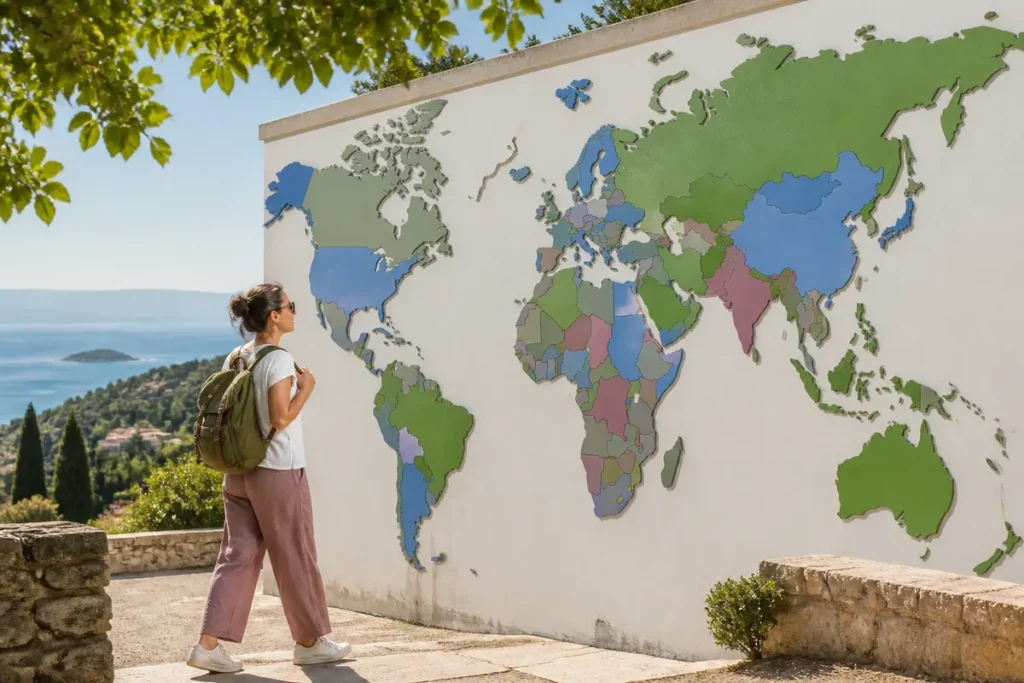
To deepen your knowledge, I recommend this ideal period in Asia which complements this topic well. Which country to visit in Asia also provides useful leads. You can also consult this cartographic exploration as well as the world wall map to locate each territory.
Which countries of Asia should you know?
The reference list includes 49 countries divided by major geographical groups. This breakdown facilitates reading a map and avoids learning a sequence of names without position, especially for the landlocked countries of Central Asia and the Southeast Asian archipelagos.
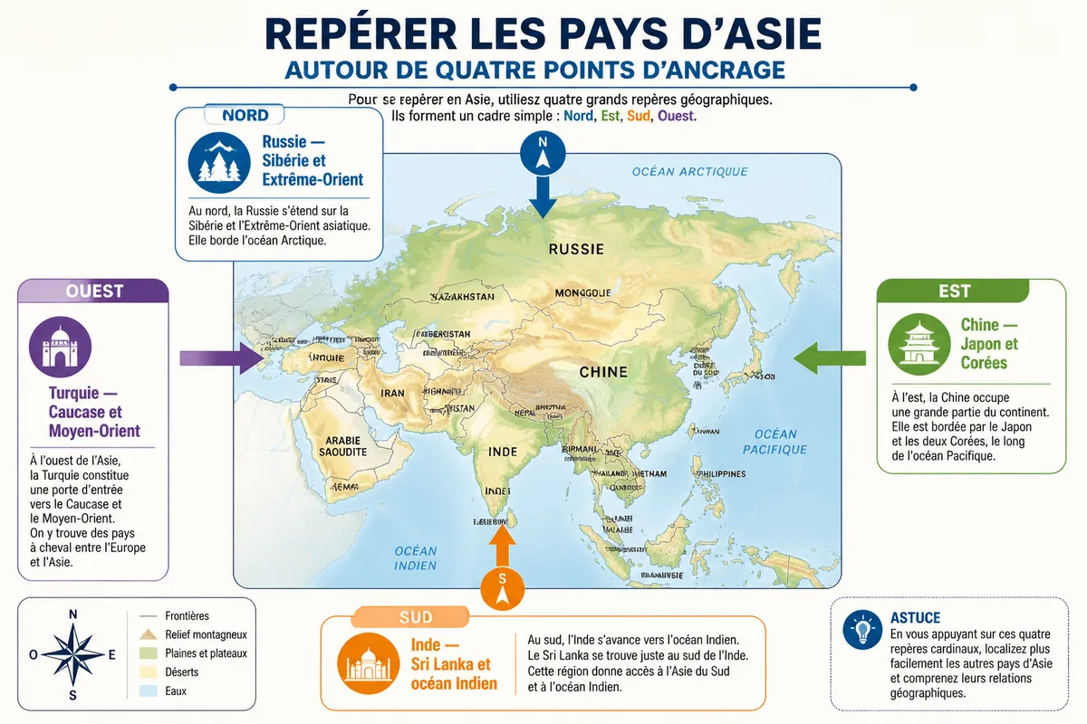

The number 49 appears in several general quizzes, while other content announces 47 countries with a different scope. Here, Russia is included for its vast Asian part and the State of Palestine is listed in Western Asia. This convention must be displayed before any game.

Central Asia and Northern Asia
Central Asia brings together five countries: Kazakhstan, Kyrgyzstan, Uzbekistan, Tajikistan, and Turkmenistan. Northern Asia here is limited to Russia, whose territory extends widely into Siberia and all the way to the Far East.
Kazakhstan is the largest country in Central Asia and does not have direct access to the global ocean. These five states are useful for understanding the center of the map, far from the maritime fronts heavily frequented by beginner quizzes.
East Asia
East Asia includes China, North Korea, South Korea, Japan, and Mongolia. China occupies the center of this group, while Japan forms an archipelago to the east, beyond the Sea of Japan.
Mongolia is landlocked between Russia and China. Japan, on the other hand, is immediately recognizable by its insular character; this contrast between a large continental space and an archipelago helps to quickly answer map questions.
South Asia and Southeast Asia
South Asia gathers nine countries: Afghanistan, Bangladesh, Bhutan, India, Iran, Maldives, Nepal, Pakistan, and Sri Lanka. Southeast Asia counts eleven in this convention, from the Indochinese peninsula to the archipelagos extending towards the Pacific.
To visualize the boundaries, also consult this map of Southeast Asia, especially if the peninsulas and islands are still mixed up in your memory. Indonesia, the Philippines, and the Maldives are the major traps in island identification.
Western Asia
Western Asia includes 18 countries: Armenia, Azerbaijan, Bahrain, Cyprus, Georgia, Iraq, Israel, Jordan, Kuwait, Lebanon, Oman, Qatar, Saudi Arabia, State of Palestine, Syria, Turkey, United Arab Emirates, and Yemen.
This region largely corresponds to the Middle East and includes several countries located at the junction of Europe and Asia. Turkey and Georgia illustrate this difficulty: their regional classification depends on the convention adopted.
What landmarks help locate the countries of Asia?
To quickly find your bearings, remember four anchor points: Russia to the north, Turkey to the west, China to the east, and India to the south. The other countries are then positioned around these continental masses, from the Caspian Sea to the Pacific archipelagos.
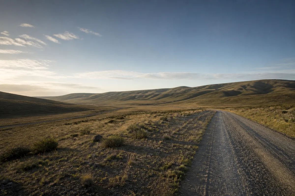

However, learning countries only by their names creates an illusion of mastery: a recognized answer in a list can disappear as soon as a blank map is presented. The right method is to associate each name with a shape, a border, or a coastline.

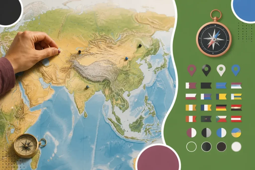
To broaden the verification of states and territories, this map of Asian states helps compare the cartographic conventions used according to the sources.
Geography quiz on the countries of Asia
✅ Strengths
Fun and dynamic learning through play
Immediate assessment of geographical knowledge
Variety of levels suitable for all audiences
🔻 Limitations
Need to regularly update borders and capitals
Sometimes superficial memorization without regular review
Increased difficulty for territories with similar names
This 12-question quiz checks countries, regional positions, and some capitals. Answer without looking at the previous list, note your answers, then scroll down to the correction: the recall effort is more educational than a simple reread.
💡 Practical tip: Always start your revisions with the most populous countries before tackling the quieter island states to effectively structure your landmarks.

Easy questions to recognize Asian countries
The first six questions focus on major landmarks and the easiest countries to locate. They serve to establish a base before questions on less familiar regions.
- What is the largest country in Asia according to the chosen convention?
- Which island country is located south of India?
- Which country lies east of China in the form of an archipelago?
- What are the two countries separated by the demilitarized zone on the Korean peninsula?
- What is the capital of Japan?
- Match Beijing and New Delhi to their countries.
Simulateur d’objectif de quiz géographique
Estimez votre score cible selon le niveau choisi
Niveau de difficulté :
Nombre de questions du test :
Objectif de bonnes réponses conseillé : /
Don’t look for the perfect wording. A geographical answer must first be locatable.
Intermediate questions on Asian regions
⚠️ Classic trap: Confusing the administrative capital with the largest city of a country during tricky questions in an Asian geography test.
The last six questions test landlocked countries, maritime fronts, and subregions. They are more revealing of a true map level, as several close answers may seem plausible.
- What is the largest country in Central Asia?
- Name the five countries of Central Asia.
- Which Central Asian states do not have direct access to the ocean?
- Which country occupies a large part of the Arabian Peninsula?
- Name two countries bordering the Caspian Sea located in Asia.
- What are the three major island or archipelagic groups of Southeast Asia to remember first?
A general quiz can also vary the formats: blank map, free input, flags, or capitals. Some applications announce six topics, while online quizzes offer regional series, a timed mode, or multiple levels.
The cartographic quiz exercise activates brain areas related to spatial memory, which promotes long-term retention of geographic information compared to simple reading.
Quiz answers and score interpretation
The answers are given in the same order as the questions. The score does not measure a definitive academic value: it mainly indicates the regions to review, especially when names are known but not correctly placed on the map.
- Russia. Its Asian territory extends over Siberia and the Far East.
- Sri Lanka. It is located southeast of the Indian tip.
- Japan. Its territory is an archipelago east of China and the two Koreas.
- North Korea and South Korea.
- Tokyo.
- Beijing is the capital of China; New Delhi is that of India.
- Kazakhstan.
- Kazakhstan, Kyrgyzstan, Uzbekistan, Tajikistan, and Turkmenistan.
- The five Central Asian countries. They are all landlocked, even though Kazakhstan borders the Caspian Sea, which is an inland sea.
- Saudi Arabia.
- Kazakhstan, Azerbaijan, Iran, Russia, and Turkmenistan. The question only asks for two answers.
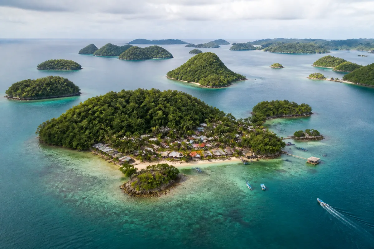
- Indonesia, the Philippines, and Malaysia. Malaysia also has a continental part.
Do not confuse speed with mastery. A timed mode announced at 30 seconds per question also measures decision speed, whereas a training mode allows correcting each mistake on the spot.
The belief that knowing capitals is enough to master the geography of Asia does not hold up well against a blank map: a capital can be correctly recited without identifying the neighboring country, the sea, or the border. So review each mistake with a visual location.
In online quizzes, formats range from about a dozen questions for a short session to 90 questions divided into series, depending on the service used; these volumes describe the games concerned, not a common standard. To progress effectively, choose a format that displays the correction after the answer.
The final ranking is simple: the list of 49 countries serves as a base, the northeast-southwest landmarks provide orientation, then the subregions refine memory. If a region remains unclear, start again with it rather than immediately restarting a general game.
How can I quickly improve to remember all the countries of Asia?
It is recommended to divide the continent into subregions such as Southeast Asia or Central Asia and to regularly use blank maps to fill in.
Which Asian countries are most often confused in quizzes?
The Central Asian republics whose names end with the suffix -stan as well as nearby island nations are most frequently mixed up.
What is the benefit of testing geographic knowledge online?
Interactive quizzes stimulate visual memory and allow you to assess your progress in a fun way thanks to an immediate score.