
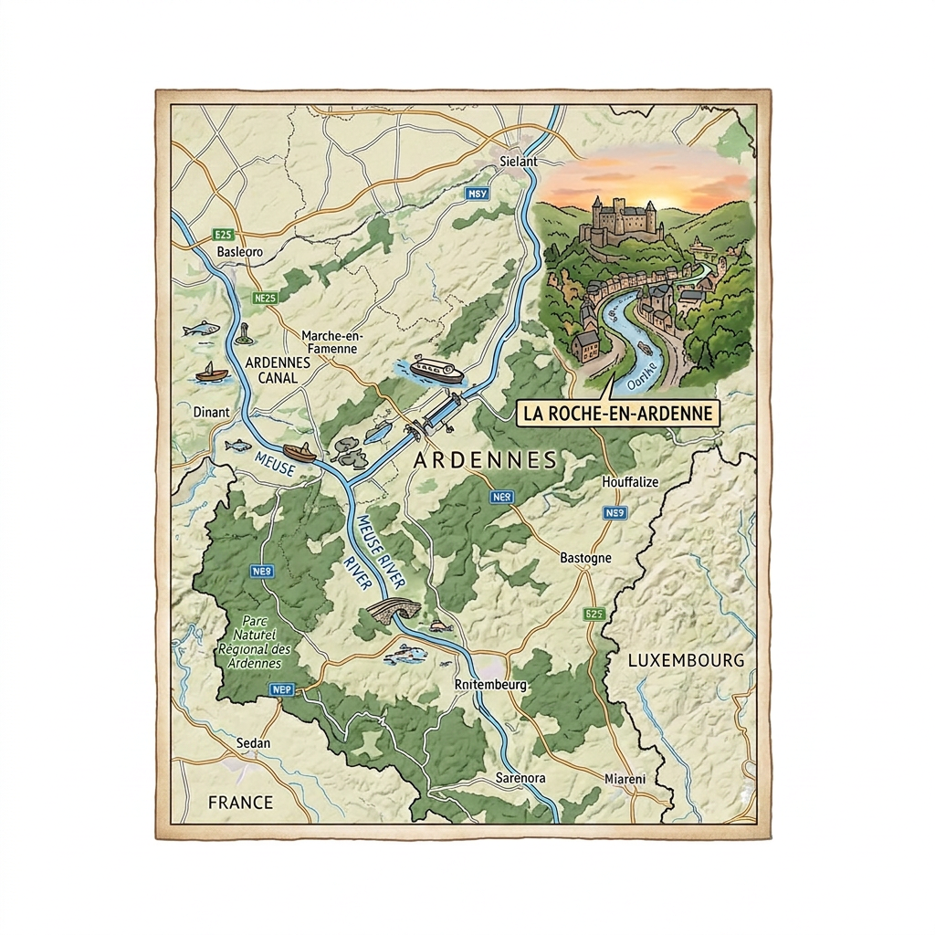
Among all the departments in the Grand Est region, there are the Ardennes, which also bear the number 08. Originally, this department is named after the forest that bears the same name: the Ardennes forest. Its capital and prefecture is called Charleville-Mézières.
With a surface area of 5,229.4 km², the Ardennes has approximately 268,948 inhabitants, meaning that the density per km² is 51.4. Furthermore, its prefecture is the most populous arrondissement and has approximately 155,352 inhabitants.
Originally, the Ardennes were among the oldest departments in France, numbering 83. These departments were created following the French Revolution in March 1790 with the same capital at the time. Furthermore, its creation coincided with that of the Champagne province.
During that time, the Ardennes were divided into 6 districts: Vouziers, Rocroi, Grandpré, Charleville, Rethel, and Sedan.

What are the neighboring departments of the Ardennes?
The Ardennes department shares a border with the provinces of Namur and Luxembourg in Belgium. And within the same Grand Est region, it is bordered to the south by the Marne and to the east by the Meuse. It also has borders with the Hauts-de-France region through the Aisne department to the west.
What is the climate like in the Ardennes?
In fact, in the Ardennes, the climate is considered oceanic, especially if one refers to the classic climate classification known as ‘Koppen’. Otherwise, this type of climate is called a marine climate of the Western Coast.
Regarding precipitation, it is about 700 mm per year, with more rainfall in November than in other months of the year. In fact, the amount of precipitation in November exceeds 85 mm.
As for temperatures, they are very variable in the Ardennes, but the lowest annual average temperature is 9 °C and the highest average is 20 °C. Thus, the warmest months are the summer months around mid-July, and the coldest periods are around January, when temperatures can drop to 2 °C.
What are the most important towns in the Ardennes?
In terms of population density per km2, the most important towns in the Ardennes are:
- Sedan,
- Vouziers,
- Fumay,
- Vrigne-aux-Bois,
- Rethel,
- The prefecture Charleville-Mézières,
- Revin,
- Givet,
- Nouzonville,
- Vivier-au-Court,
- Mouzon,
- Donchery,
- Rocroi.
- Villers-Semeuse,
- Carignan,
- Monthermé,
- Floing,
- Bogny-sur-Meuse,
What are the most important municipalities in the Ardennes?
If we refer to the area of the municipalities in the Ardennes, we have listed below the most important municipalities:
- Signy-l’Abbaye
- Rocroi
- Tailly
- Signy-le-Petit
- Thin-le-Moutier
- Semide
- Revin
- Fumay
- Hargnies
If we refer to the population density per km2, the most important municipalities are:
- Nouzonville
- Rethel
- Revin
- Givet
- Bogny-sur-Meuse
- Vouziers
- Charleville-Mézières
- Fumay
- Vrigne aux Bois
- Sedan
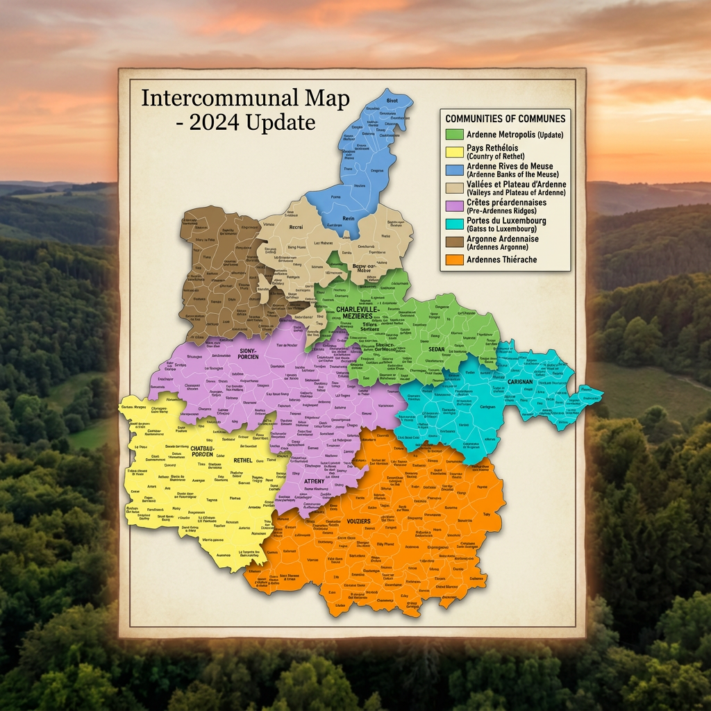
FAQ: Ardennes map
The Place Ducale in Charleville-Mézières is a gem of classical architecture. The Sedan castle remains the largest fortress in Europe.
Summer offers ideal weather for activities in the Ardennes forest. Autumn enhances the natural landscapes with its beautiful changing colors.
A car is necessary to travel along the scenic roads of the valley. The train serves the main towns like Charleville-Mézières and Sedan.
