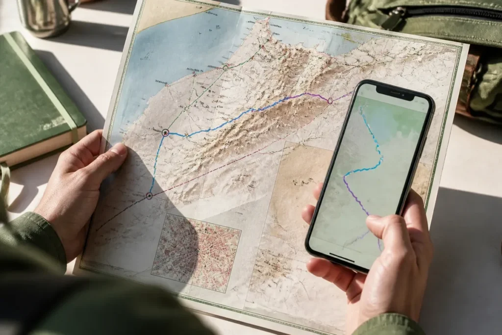
The Dolomites, located in northern Italy, attract mountain enthusiasts, hikers, and lovers of breathtaking landscapes every year. Having a suitable map quickly proves essential for planning a successful trip in this region with impressive terrain. Between tourist maps, topographic maps, or interactive maps, there are several solutions to easily navigate, identify recommended routes, and organize your adventures according to your desires. Here is how to choose and use the right map of the Dolomites to optimize your experience.
Overview from my point of view:
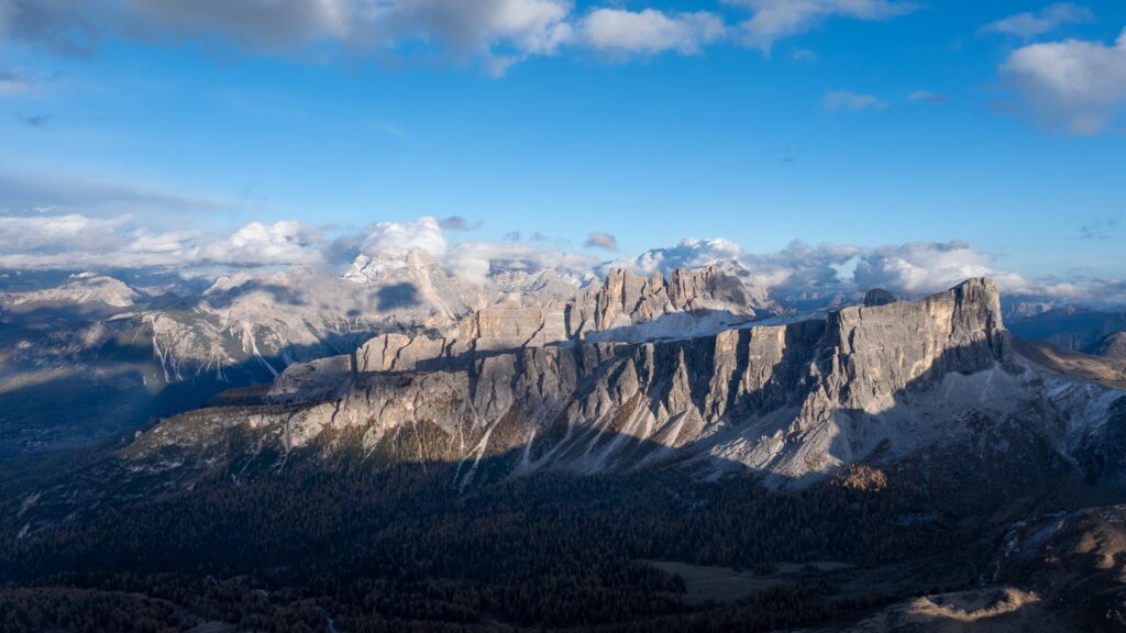
In my opinion, exploring the Dolomites is not just a simple mountain walk; it is an immersion into a life-size masterpiece painting. I am always amazed by this enrosadira phenomenon, where the carbonate rock literally ignites at sunset, offering a spectacle that no photo can faithfully reproduce. My feeling is that these jagged peaks possess an almost unreal verticality, a unique geological signature that commands immediate respect as soon as you venture onto the high-altitude trails.
Which types of maps should you prioritize to explore the Dolomites?
At the heart of the Dolomitic massifs, every traveler discovers a multitude of paths, spectacular viewpoints, and places to visit. Depending on your ambitions – a leisurely excursion or a multi-day sporting adventure – different types of maps meet specific needs. An appropriate selection ensures not only safety but also the pleasure of discovery throughout the journey.
Exploring these famous peaks without a solid base can limit discoveries. Using a detailed map guarantees you won’t miss the must-see spots that the Dolomites offer, from emerald green lakes to perched villages and dense forests crossing the landscape.
If the beauty of the Italian terrain inspires you, you might consider some tips for a successful camping holiday in Italy to stay as close as possible to the wild nature. For hiking enthusiasts who want to keep track of their progress, it is useful to know which Garmin sports watch to choose in 2024 for precise navigation. Finally, to extend this alpine atmosphere at home, why not indulge in a globe map that will proudly sit in your office?
Why use a tourist map?
The tourist map is ideal for those who want to quickly locate major attractions, accommodations, or information centers. Generally clear and illustrated, it presents the must-see spots in the form of pictograms, facilitates navigation between valleys, and highlights emblematic sites. This type of map simplifies trip planning and stimulates curiosity during a first visit.
With this tool, you will easily find main roads, hotels, some strategic bus stops, and villages near national parks. The recommended routes are often suggested, making each outing easier to organize according to the duration and desired level.
In what situations does a topographic map become indispensable?
For those who like to go off the beaten path, the topographic map is an asset both for hiking and adventure trekking. It details with precision the relief, contour lines, altitudes, as well as rivers, shelters, and passes to cross. This visualization allows you to adjust your route, measure the difficulty of the terrain, or anticipate the weather on certain exposed sections.
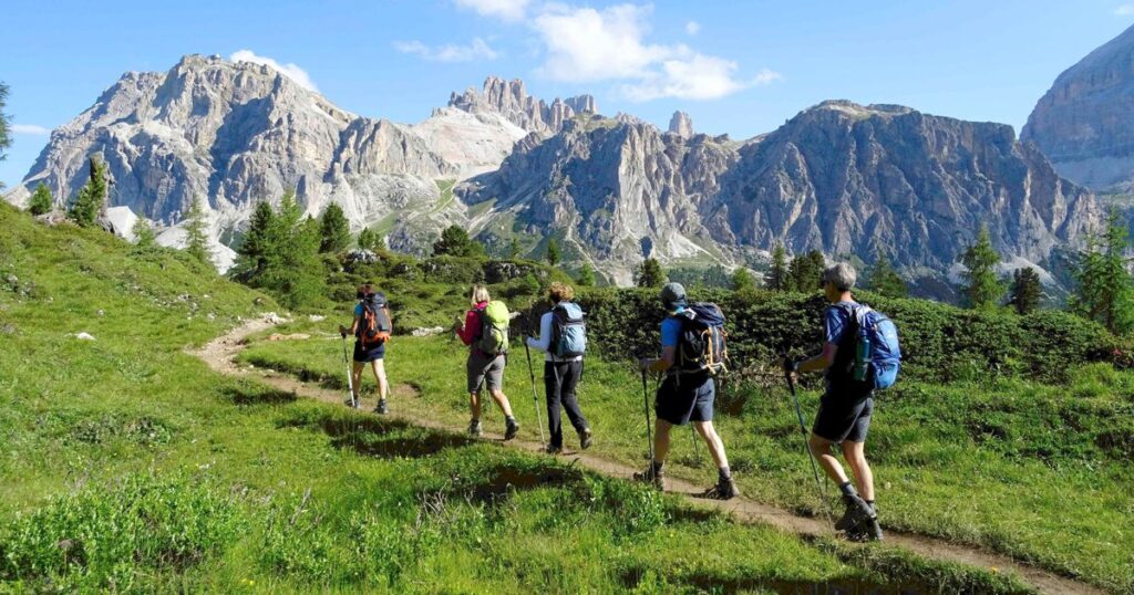
Fans of meticulous planning particularly appreciate the precise reading offered by a topographic map during long hikes or when connecting several stages over multiple days, especially in the vast protected areas of the region’s national parks.
How to prepare a route in the Dolomites with the right resources?
To develop a route adapted to your expectations, taking the time to consult different maps is essential. By cross-referencing tourist data and technical information provided by detailed maps, you refine your choice of destination, route, and even rest or resupply points. This is also where digital resources and innovations such as the interactive map come into play.
Today, many visitors complement their traditional equipment with digital tools. Downloading maps (gpx, GPS-compatible files) facilitates offline exploration, while offering precise tracking and frequent updates according to terrain changes or trail maintenance.
Summary table of the massif
| Key Element | Practical Information |
| Regions concerned | Trentino-Alto Adige, Veneto, Friuli-Venezia Giulia |
| Highest summit | Marmolada (3,343 meters) |
| Main activities | Hiking, via ferrata, cross-country skiing, climbing |
| UNESCO classification | World Heritage since 2009 |
| Best season | June to September for hiking |
What advantages does the interactive map offer?
The interactive map allows you to view possible hiking trails live. It becomes easy to customize a route thanks to the dynamic display of points of interest, shelters, alternative routes, and elevation profiles. The user zooms, clicks to obtain descriptive sheets, then easily adapts their initial plan according to their desires or recommendations.
This format also encourages the discovery of new circuits offered by other travelers, sometimes allowing you to expand your itinerary beyond popular areas, towards less frequented secret spots that are just as magnificent.
How does the ability to download GPX files help during a hike?
Downloading maps in gpx format or other GPS files provides access to reliable guidance, especially when mobile network coverage remains limited. Thus, the chosen route can be followed on a smartphone or smartwatch, even far from usual paths. This significantly reduces the risk of getting lost, while maintaining the freedom to take detours or improvise a break in front of an inspiring panorama.
Furthermore, handling GPX files allows you to easily share your own discoveries, find tracks exchanged on forums, and build a personalized library of routes already tested by other adventurers.
- Choose a tourist map to identify major sites and facilitate the organization of stages.
- Opt for a topographic map during sporty hikes or excursions far from traditional roads.
- Rely on the interactive map to enrich your route with unique suggestions or prepare tailor-made itineraries.
- Download GPX files to secure the route and fully enjoy the surrounding nature.
Practical tips for using each type of map in the Dolomites
Combining several media enhances the effectiveness of preparation and exploration on site. Taking the time to learn how to read a topographic map limits unforeseen events and makes any outing smoother, including in mountainous areas known for their unpredictable weather and steep paths.
Experience shows that carrying a paper version always advantageously complements digital, which can sometimes fail in case of breakdown or technical accident. Professionals at local tourist offices readily offer personalized advice to select the best option depending on the season and targeted areas.
What tips for combining traditional and digital?
Before leaving, download necessary maps and files and check their offline readability for peace of mind. On the ground, juggling between local signage, mobile apps, and paper media maximizes autonomy, whatever the length of the stay or number of participants.
Finally, regularly updating your routes avoids disappointments related to temporary trail closures or changes in natural conditions, frequent in a national park like the Dolomites.
How to develop the best itinerary according to your profile?
Some prefer bold ascents, while others adopt a contemplative pace focused on discovery. Identifying priority stages in advance, relying on feedback from other travelers, then enriching your journey with digital tools ensures a great variety of experiences. For each profile, flexibility becomes the key to a successful stay.
Letting yourself be guided by curiosity while taking advantage of modern resources means striking the right balance between thoughtful exploration and spontaneity, where each map plays a complementary role on the road through the Dolomites.
I remember a late afternoon at the foot of the Tre Cime, after a rather exhausting climb under a blazing sun. I had this sudden realization while watching climbers hanging on the rock face: the mountain is not conquered, we are simply invited there. Remaining silent in front of these stone towers, I realized that we too often lose the habit of pure contemplation in our hectic daily lives. This experience taught me to slow my pace, not out of fatigue, but to give the landscape time to truly imprint itself in my visual memory.
Dolomites Map: Discover and Explore the Italian Mountains
The Alpe di Siusi plateau is an excellent option as it offers relatively flat trails with exceptional panoramic views. The walk around Lake Braies is also an easy hike, very popular for its enchanting setting and turquoise waters reflecting the peaks.
Although a vehicle offers more freedom, the local bus network and ski lifts are extremely efficient, especially in high season. Many villages are connected to each other, allowing access to the main hiking starting points without too much difficulty.
The rock is composed of dolomite, a calcium and magnesium carbonate. Unlike the gray granite of the Central Alps, it is much lighter and reacts to twilight light by taking on pink and purple hues, a fascinating natural phenomenon called alpenglow.