.synthesis { max-width: 640px; margin: 2em auto; padding: 1.5em 1.8em; color: #1f3313; font-family: “Inter”, “Segoe UI”, sans-serif; text-align: left; position: relative; box-sizing: border-box; background: #f2f7ef; border: 1px solid #5b9638; border-left: 6px solid #5b9638; border-radius: 12px; box-shadow: 0 8px 24px rgba(251, 191, 36, 0.15); }
.synthesis h2, .synthesis .synthesis-header { font-size: 1.15em; font-weight: 700; margin-bottom: 0.6em; color: #47752c; }
.synthesis p, .synthesis li { font-size: 1em; line-height: 1.65; margin: 10px; }
.synthesis strong { color: #121e0b; }
.synthesis table { width: 100%; border-collapse: collapse; }
.synthesis th { background: rgba(91, 150, 56, 0.12); color: #47752c; text-align: left; }
.synthesis td, .synthesis th { padding: 8px 12px; border-bottom: 1px solid rgba(91, 150, 56, 0.18); vertical-align: top; }
.synthesis tbody tr:nth-child(even) { background: rgba(91, 150, 56, 0.05); }
.key-takeaways { max-width: 640px; margin: 2em auto; padding: 1.5em 1.8em; color: #1f3313; font-family: “Inter”, “Segoe UI”, sans-serif; text-align: left; position: relative; box-sizing: border-box; background: #f2f7ef; border: 1px solid #5b9638; border-left: 6px solid #5b9638; border-radius: 12px; box-shadow: 0 8px 24px rgba(251, 191, 36, 0.15); }
.key-takeaways h2, .key-takeaways .key-takeaways-header { font-size: 1.15em; font-weight: 700; margin-bottom: 0.6em; color: #47752c; }
.key-takeaways p, .key-takeaways li { font-size: 1em; line-height: 1.65; margin: 10px; }
.key-takeaways strong { color: #121e0b; }
.key-takeaways ul { list-style: none; padding-left: 0; }
.key-takeaways li { margin: 0.45em 0; padding-left: 0.2em; }
.mg-callout{margin:1.5em 0;padding:.9em 1.1em;border:1px solid;border-left-width:4px;border-radius:10px;font-size:.97em;line-height:1.65}.mg-callout>:first-child{margin-top:0}.mg-callout>:last-child{margin-bottom:0}.mg-callout__label{display:block;margin:0 0 .35em;font-weight:700;font-size:.82em;letter-spacing:.03em;text-transform:uppercase}.mg-callout__label::before{margin-right:.45em;font-size:1.05em;vertical-align:-.06em}.mg-callout–info{background:#eff6ff;border-color:#bfdbfe;color:#1e3a5f}.mg-callout–info .mg-callout__label{color:#2563eb}.mg-callout–info .mg-callout__label::before{content:”2139FE0F”}.mg-callout–tip{background:#f0fdf4;border-color:#bbf7d0;color:#14532d}.mg-callout–tip .mg-callout__label{color:#15803d}.mg-callout–tip .mg-callout__label::before{content:”1F4A1″}.mg-callout–warning{background:#fffbeb;border-color:#fde68a;color:#7a4a10}.mg-callout–warning .mg-callout__label{color:#b45309}.mg-callout–warning .mg-callout__label::before{content:”26A0FE0F”}.mg-callout–danger{background:#fef2f2;border-color:#fecaca;color:#7f1d1d}.mg-callout–danger .mg-callout__label{color:#dc2626}.mg-callout–danger .mg-callout__label::before{content:”1F6D1″}.mg-proscons{display:grid;grid-template-columns:1fr 1fr;gap:16px;margin:1.5em 0}@media(max-width:560px){.mg-proscons{grid-template-columns:1fr}}.mg-proscons__col{padding:.9em 1.1em;border:1px solid;border-radius:10px}.mg-proscons__title{display:flex;align-items:center;gap:.4em;margin:0 0 .5em;font-weight:700;font-size:.9em;letter-spacing:.02em}.mg-proscons__col ul{margin:.3em 0 0;padding-left:1.15em}.mg-proscons__col li{margin:.3em 0;line-height:1.55}.mg-proscons__col–pro{background:#f0fdf4;border-color:#bbf7d0;color:#14532d}.mg-proscons__col–pro .mg-proscons__title{color:#15803d}.mg-proscons__col–pro .mg-proscons__title::before{content:”2705″}.mg-proscons__col–con{background:#fef2f2;border-color:#fecaca;color:#7f1d1d}.mg-proscons__col–con .mg-proscons__title{color:#dc2626}.mg-proscons__col–con .mg-proscons__title::before{content:”274C”}ol.mg-steps{list-style:none!important;counter-reset:mgstep;margin:1.6em 0;padding-left:0!important}ol.mg-steps>li.mg-steps__item{counter-increment:mgstep;list-style:none!important;padding-left:0!important;padding-bottom:1.4em}ol.mg-steps>li.mg-steps__item:last-child{padding-bottom:0}ol.mg-steps>li.mg-steps__item>:last-child{margin-bottom:0}ol.mg-steps>li.mg-steps__item>.mg-steps__title{margin:0 0 .25em;font-weight:600}ol.mg-steps>li.mg-steps__item>.mg-steps__title::before{content:counter(mgstep) “. “;opacity:.45;font-weight:500;font-variant-numeric:tabular-nums}ol.mg-steps>li.mg-steps__item:not(:has(.mg-steps__title))::before{content:counter(mgstep) “. “;opacity:.45;font-weight:500;font-variant-numeric:tabular-nums}.mg-kpis{display:grid;grid-template-columns:repeat(auto-fit,minmax(140px,1fr));gap:14px;margin:1.5em 0}.mg-kpi{padding:1em .9em;border:1px solid #e5e7eb;border-radius:12px;background:#f9fafb;text-align:center}.mg-kpi__value{display:block;font-size:1.7em;font-weight:800;line-height:1.15;color:#111827}.mg-kpi__label{display:block;margin-top:.35em;font-size:.85em;color:#6b7280;line-height:1.35}
.wp-block-image,.ai-image{margin-bottom:1.75em}.wp-block-image>figcaption,.ai-image>figcaption{margin-top:.5em}
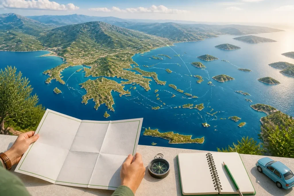
10 tourist maps of Greece can serve very different decisions: choosing a region, locating an island, connecting two stops, or avoiding a poorly placed sea route. To prepare a trip, favor an interactive tourist map of Greece to identify regions, islands, sites, and routes, then complement it with a paper map if you need an overall view on site.
A general map locates Athens, Thessaloniki, Crete, the Cyclades, the Dodecanese, and the Ionian Islands, while a local map becomes useful around Athens, in Crete, or on a large island. Good reading therefore starts with the scale and arrival points, before the most photographed beaches.


| 🗺️ | General map: locates the regions, peninsulas, and major Greek archipelagos. |
| 📍 | Interactive map: compares sites, routes, and stops while preparing the itinerary. |
| 🏛️ | Cultural map: brings together Athens, Delphi, Olympia, Meteora, and ancient sites. |
| 🏝️ | Islands map: distinguishes Cyclades, Dodecanese, Ionian, Sporades, and Crete. |
| 🚢 | Maritime map: helps understand departure ports and island combinations. |
| 🛣️ | Road map: highlights relief, coastal roads, and driving times that are difficult to estimate. |
| 📄 | Paper map: keeps an overview without connection, with limits of local precision. |
1. General tourist map of Greece
The general tourist map first serves to distinguish mainland Greece, the Peloponnese, Crete, and the main island groups. It places the major gateways such as Athens, Thessaloniki, Heraklion, Chania, Rhodes, and Corfu, then gives a first coherence to the regions that travel images often mix.

A general map is not enough to choose a secluded beach or a secondary road. It remains very effective for deciding between a stay centered on Athens, a continental tour, or a direct arrival in Crete.
2. Map of distances and travel times in Greece
A distance map highlights stages that seem close on paper, but become long due to the terrain, a sea crossing, or a port change. It is used to compare Athens, Delphi, Meteora, Olympia, Thessaloniki, and seaside resorts without turning a straight line into actual travel time.
Travel times cannot be honestly given without the precise itinerary, mode of transport, season, and port used. By car, a mountainous road greatly slows progress; by ferry, the schedule depends on the planned rotation and port conditions. An overnight stop becomes relevant when two stages impose several successive constraints.
- Measure the road distance, not just the gap between two points.
- Separate the journey to the port from the duration of the crossing.
- Place the islands of the same geographical group before adding a distant connection.
However, a national map does not always show secondary roads in enough detail. For distances between cities and regions, the map of Greece with cities usefully complements the overall view.
3. Road map of mainland Greece
The road map of mainland Greece connects Athens to Central Greece, Epirus, Thessaly, and Macedonia. It mainly allows visualization of the main axes, coastal roads, and mountain passes that change the logic of a circuit between ancient sites, beaches, and natural landscapes.
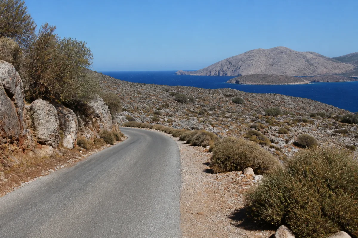
For a car trip, the map must show the terrain before points of interest. Meteora, Delphi, Mount Olympus, and the regions of Epirus do not follow each other like neighboring squares. The detour that seems secondary on the map can become the main constraint of the day.
- First trace the arrival and departure axis.
- Group sites located in the same mountainous area.
- Avoid adding a distant beach to a day already occupied by a cultural site.
4. Tourist map of Athens and Attica
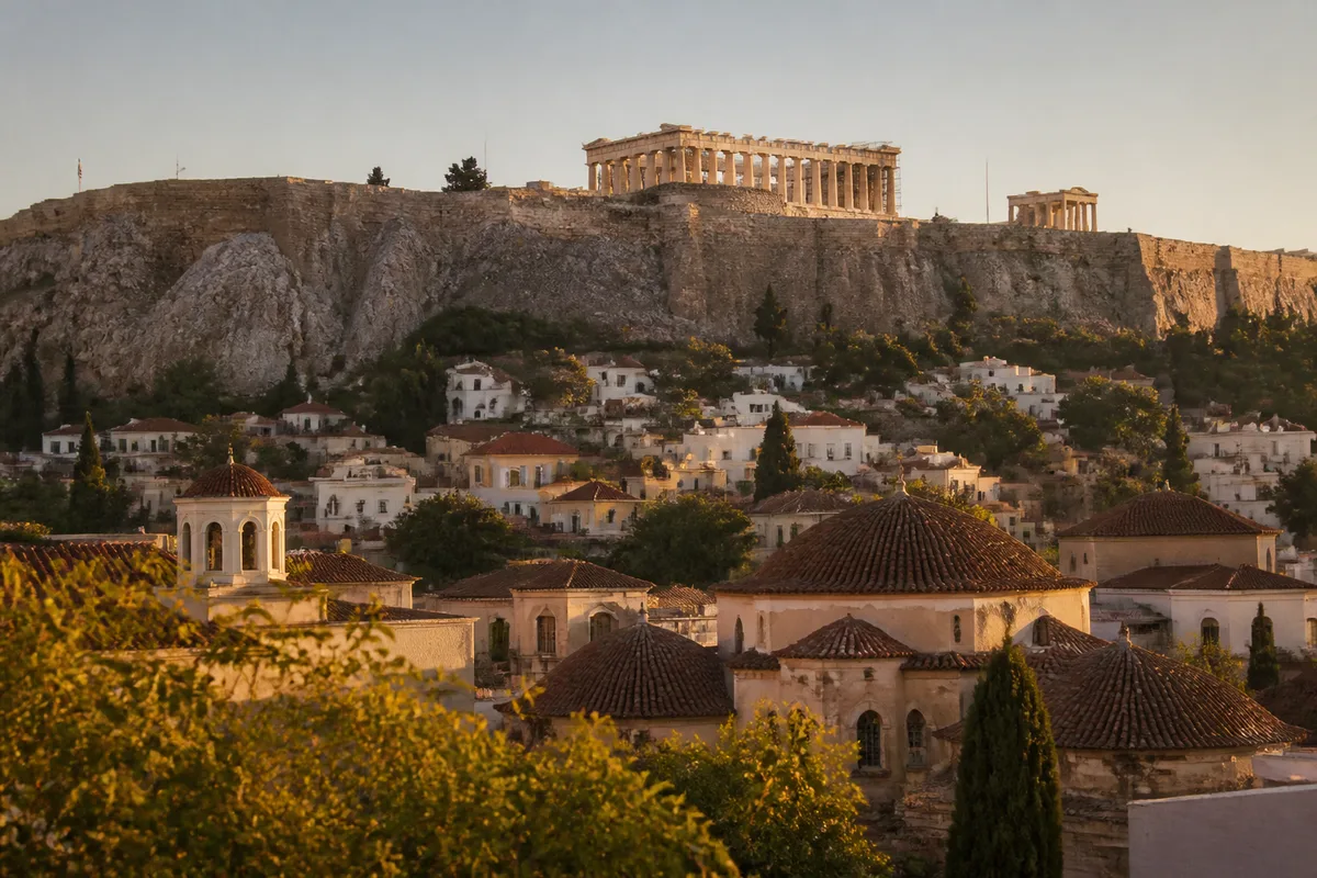
The tourist map of Athens should bring together the Acropolis, Pláka, Monastiráki, Syntagma, and Piraeus, while distinguishing visits accessible on foot, by metro, or as part of an excursion. It also locates Attica, the coastlines, and Cape Sounion, without confusing the urban center with the peripheral beaches.
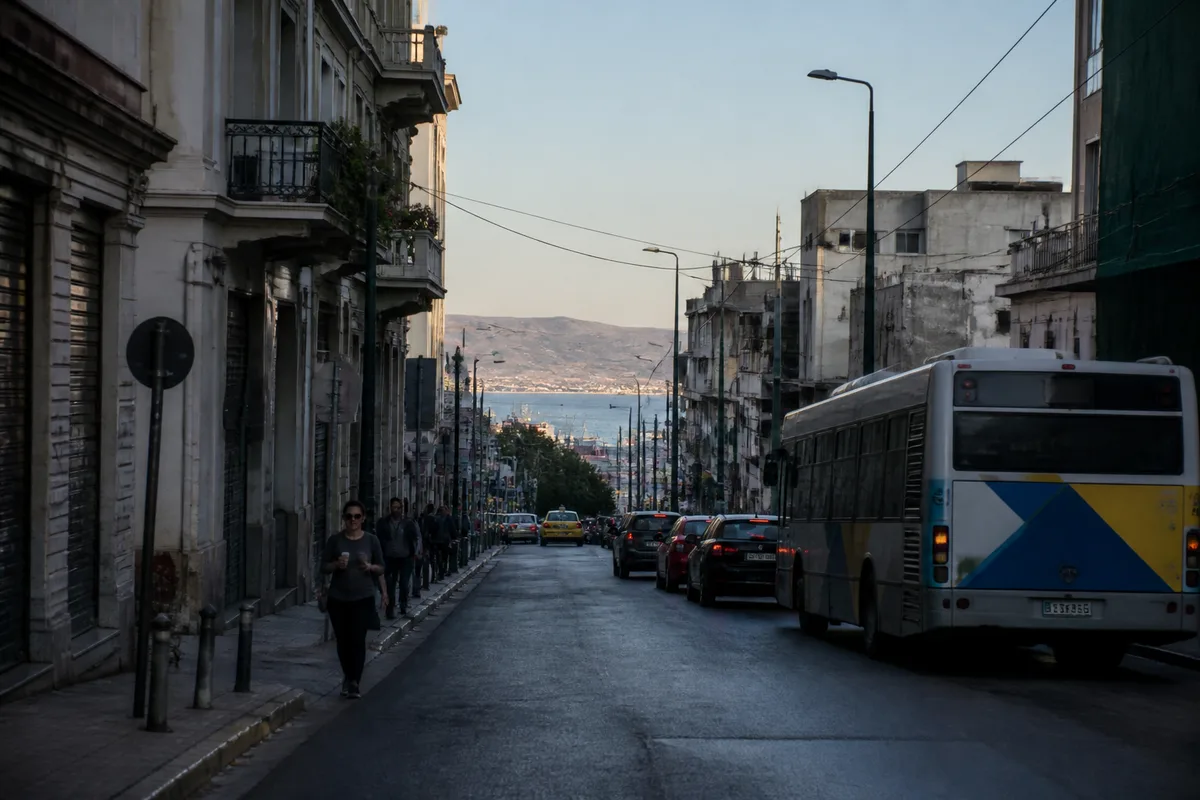
Piraeus is a transport hub, not just an extension of the historic center. A local map therefore allows separating a morning around the Acropolis from a maritime departure or an outing to Cape Sounion. The map becomes useful as soon as the boat schedule comes into the day.

You are free to use this picture for any purpose as long as you credit its author, Ad Meskens.
Example: © Ad Meskens / Wikimedia Commons
If you use this work outside of the Wikimedia projects, a message or a copy is very much appreciated.
This image is not in the public domain. A statement such as “From Wikimedia Commons” or similar is not by itself sufficient. If you do not provide clear attribution to the author you do not comply with the terms of the file’s license and you may not use this file. If you are unable or unwilling to provide attribution you should contact Ad Meskens to negotiate a different license.
/ Wikimedia Commons
5. Tourist map of the Peloponnese
The tourist map of the Peloponnese brings together Nafplio, Epidaurus, Mycenae, Olympia, Monemvasia, Kalamata, and Mani around several gulfs. It helps to choose between an itinerary focused on Argolis, easier to organize, and a wider tour that requires more driving.
The relief and maritime contours structure the route here. The gulfs of Corinth, Argolis, Messenia, and Laconia provide a more accurate reading of distances than just the succession of names. The beaches of Mani and the inland villages require a local map as soon as the itinerary leaves the main routes.
A short circuit suits Argolis. A wider circuit suits the traveler who agrees to devote several days to travel.
6. Map of natural and cultural sites of Central Greece
Central Greece is understood around Delphi, Meteora, Mount Parnassus, and Thermopylae, with mountainous areas, lakes, and gorges that slow down travel. This map favors current visits and access, unlike a map of ancient Greece centered on the old territories.
The proximity between Athens, Delphi, Meteora, and Thessaloniki seems logical on a general map, then becomes demanding when one has to drive between the massifs. Natural sites add a constraint of weather and walking. Photography often promises a viewpoint; actual access depends on the trail, the condition of the terrain, and the time.

7. Tourist map of Macedonia and Thrace
The map of northern Greece locates Thessaloniki, Chalkidiki, Mount Athos, Kavala, Edessa, and Alexandroupoli. It allows distinguishing the beaches of Chalkidiki, the historic cities, and the border regions, often far from routes centered on Athens and the Cyclades.
Thessaloniki functions as the gateway to the north, while Chalkidiki unfolds in peninsulas and Mount Athos follows particular access conditions. The map alone is therefore not enough to promise a visit. It serves to understand the shape of the territory and the place of the routes.

For this area, choose the northern map if your stay exceeds a simple stopover in Thessaloniki.
8. Tourist map of Crete for a car tour
A map of Crete must place Chania, Rethymno, Heraklion, Agios Nikolaos, Elafonissi, Balos, and Vai, then show the mountains that cut the island from north to south. It helps to distribute the stages between coasts, villages, archaeological sites, and beaches, without reducing the island to a succession of lagoons.
A 5-day tour should remain focused on one part of the island. With 7 days, two areas can be combined if the routes remain coherent. Ten days allow for a more ambitious crossing, but the slow roads of the south and interior still weigh on the schedule.

To compare the islands without confusing size, access, and landscapes, the map of the Greek islands offers a complementary reading.
9. Map of maritime connections between the Greek islands
The maritime map links the ports of Piraeus, Rafina, Heraklion, Thessaloniki, and Igoumenitsa to the major island groups. It distinguishes the Cyclades, the Dodecanese, the Ionian Islands, the Sporades, and the northern Aegean islands, which avoids treating all crossings as if they formed a single network.
Schedules change according to the season, demand, port conditions, and the carrier’s organization. An Athens–Mykonos–Naxos–Santorini combination follows a different logic than a Rhodes–Kos route. The schedules actually offered on the day of departure take precedence over a route drawn in a guide.

The maritime map indicates a geographical possibility, never a boarding guarantee. Departures from the port actually used determine the feasibility of the stage.
10. Map of beaches and must-see landscapes of Greece
A map of beaches and landscapes brings together coves, lagoons, cliffs, mountains, and gorges with access points. It allows choosing between swimming, hiking, photography, or family stays, while distinguishing a site accessible from a major city from a place requiring a secondary road and crossing.
Photography alone is not enough to measure the constraint. A turquoise beach may be remote, exposed to the wind, or crowded at the time when the light becomes interesting. To rank cultural and natural landscapes, Greece has 20 sites listed as UNESCO World Heritage; this data helps organize the stages, not predict the crowd.

Which map to choose to prepare a trip to Greece?
The interactive map is suitable for preparing and comparing stages; the paper map keeps a general view offline; the local map becomes essential for a city, an island, or a detailed road network. The best choice therefore depends on the planned action, not on an absolute ranking of the media.
| Medium | Main use | Limit | For whom |
|---|---|---|---|
| Interactive | Compare regions, sites, and routes | Dependence on connection and displayed data | Prepare an itinerary |
| Paper | General view and offline consultation | Limited local details | Traveling trip |
| Local | Read a city, an island, or a mountainous area | Reduced geographical coverage | Organize days on site |
The IGN paper map of Greece referenced 86112 is displayed at 7 euros on its consulted sheet; this sheet indicates the scale 1:800,000 and an edition dated February 5, 2018. At this scale, 1 cm represents 8 km on the ground, which is suitable for a national view, not for the detail of a beach.

Useful sources for reading a tourist map of Greece
Cartographic data and prices do not age at the same rate. The IGN sheet allows you to identify an edition and a scale; the Partir.com map page showed an update on January 16, 2026, a rating of 4.7 out of 5 given by 110 travelers, as well as 36 maps dedicated to Greece at the time of extraction.
- IGN: displayed price, scale, and edition date of the paper map.
- Partir.com: interactive maps and presented destinations, page updated on January 16, 2026.
- UNESCO: list of Greek sites inscribed on the World Heritage list.
- Map of Greek airports: useful for linking arrival point, targeted region, and maritime connection.
Greece has 13 administrative regions, while the Cyclades and the Dodecanese belong to the South Aegean; a tourist map sometimes mixes these divisions with more familiar geographic groupings. For an itinerary, mainly remember the distance between your arrival point, your first stop, and the next transport.

.magic-lb-overlay{position:fixed;inset:0;background:rgba(15,23,42,.92);display:none;align-items:center;justify-content:center;z-index:99999;cursor:zoom-out;padding:20px}
.magic-lb-overlay.open{display:flex}
.magic-lb-overlay img{max-width:95vw;max-height:95vh;object-fit:contain;border-radius:8px;box-shadow:0 8px 32px rgba(0,0,0,.5)}
.magic-lb-close{position:absolute;top:16px;right:20px;color:#fff;background:rgba(0,0,0,.5);border:none;width:40px;height:40px;border-radius:50%;font-size:24px;cursor:pointer;display:flex;align-items:center;justify-content:center}
.magic-lb-close:hover{background:rgba(0,0,0,.8)}
.wp-block-image img{cursor:zoom-in;transition:transform .15s ease}
.wp-block-image img:hover{transform:scale(1.01)}
.magic-img-link{display:inline-block;text-decoration:none}
(function(){
var ov=document.getElementById(‘magic-lb’);if(!ov)return;
var img=ov.querySelector(‘img’),btn=ov.querySelector(‘.magic-lb-close’);
var L={fr:’Fermer’,es:’Cerrar’,en:’Close’,pt:’Fechar’,it:’Chiudi’,de:’Schlieu00dfen’,nl:’Sluiten’,ca:’Tancar’};
btn.setAttribute(‘aria-label’,L[(document.documentElement.lang||”).slice(0,2).toLowerCase()]||’Close’);
function open(src){img.src=src;ov.classList.add(‘open’);document.body.style.overflow=’hidden’}
function close(){ov.classList.remove(‘open’);img.src=”;document.body.style.overflow=”}
document.addEventListener(‘click’,function(e){
var a=e.target.closest(‘a.magic-img-link’);
if(a){e.preventDefault();open(a.getAttribute(‘href’));return}
var i=e.target.closest(‘.wp-block-image img’);
if(i&&!e.target.closest(‘a’)){e.preventDefault();open(i.currentSrc||i.src)}
});
ov.addEventListener(‘click’,function(e){if(e.target===ov||e.target===btn)close()});
document.addEventListener(‘keydown’,function(e){if(e.key===’Escape’)close()});
})();